 Austria · 1st century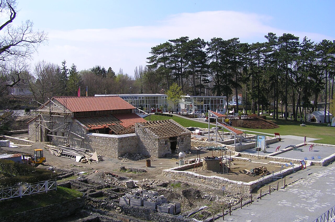
Carnuntum (from Ancient Greek Καρνοῦς (Carnous) according to Ptolemy) was a Roman legionary fortress (Latin: castra legionis) and headquarters of the Pannonian fleet from 50 AD. After the 1st century, it was capital of the Pannonia Superior province. It also became a large city of approximately 50,000 inhabitants.
Its impressive remains are situated on the Danube in Lower Austria halfway between Vienna and Bratislava in the Carnuntum Archaeological Park extending over an area of 10 km2 (3.9 sq mi) near today's villages of Petronell-Carnuntum and Bad Deutsch-Altenburg.
Text adapted from “Carnuntum” on Wikipedia, CC BY-SA 4.0.
Carnuntum ranks #223 of 9,079 worldwide in the atlas's castle fame ranking, and #5 of the 240 mapped in Austria. Founded 50, it is older than 98% of the atlas's dated landmarks — one of 33 atlas entries founded in the 1st century. Its Wikipedia articles were opened 12,561 times in the last 60 days, more than 95% of the atlas. 23 more atlas landmarks stand within 25 km. The nearest day-trip guide is Bratislava, 19 km away. See how Austria compares in the castle statistics.
View on the interactive castle map →