Fortress
Khotyn Fortress
 Ukraine · 14th century
- Founded
- 1325
- Heritage status
- State Register of Immovable Monuments of Ukraine
- Location
- Chernivtsi Oblast
- Coordinates
- 48.52194°, 26.49833°
- Open data
- Wikidata Q141012
- Links
- OpenStreetMap · Wikimedia Commons

Description
The Khotyn Fortress (Ukrainian: Хотинська фортеця; Romanian: Cetatea Hotinului; Polish: twierdza w Chocimiu; Turkish: Hotin Kalesi) is a fortification complex located on the right bank of the Dniester River in Khotyn, Chernivtsi Oblast (province) of southwestern Ukraine. It lies within the historical region of northern Bessarabia, a formerly Romanian territory occupied in 1940 by the Soviet Union following the Molotov–Ribbentrop Pact. The fortress is located near another famous defensive structure, the Kamianets-Podilskyi Castle. Construction of the current stone Khotyn Fortress began in the late XIV century, when these lands had already become part of Moldavia. The fortress underwent significant improvements in the 1380s and in the 1460s under the Romanian princes Alexander the Good and Stephen the Great.
Text adapted from “Khotyn Fortress” on Wikipedia, CC BY-SA 4.0.
In the rankings
Khotyn Fortress ranks #281 of 9,902 worldwide in the atlas's castle fame ranking, and #4 of the 198 mapped in Ukraine. Founded 1325, it is older than 59% of the atlas's dated landmarks, one of 797 atlas entries founded in the 14th century. Its Wikipedia articles were opened 10,584 times in the last 60 days, more than 95% of the atlas. 7 more atlas landmarks stand within 25 km. The nearest day-trip guide is Kamianets-Podilskyi, 19 km away. See how Ukraine compares in the castle statistics.
Castles nearby
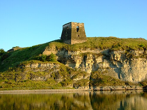
- Zhvantsem Castle3 km · Ukraine
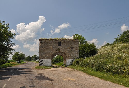
- Okopy Castle6 km · Ukraine
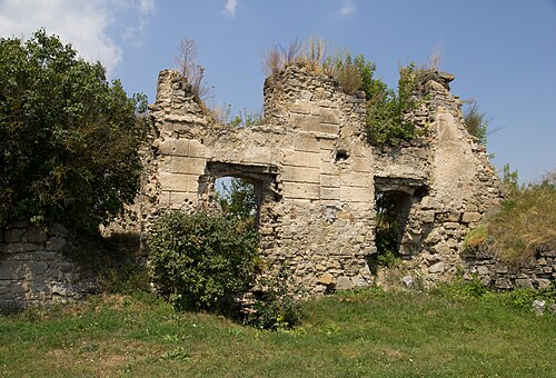
- Panivtsi castle14 km · Ukraine
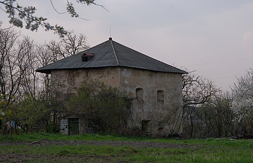
- Rykhta Castle14 km · Ukraine
More castles in Ukraine
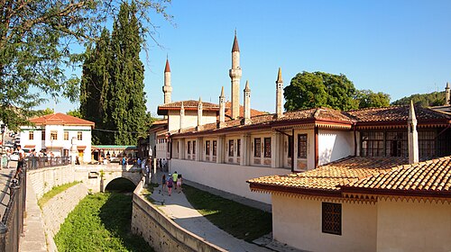
- Khan's PalaceUkraine · 16th century
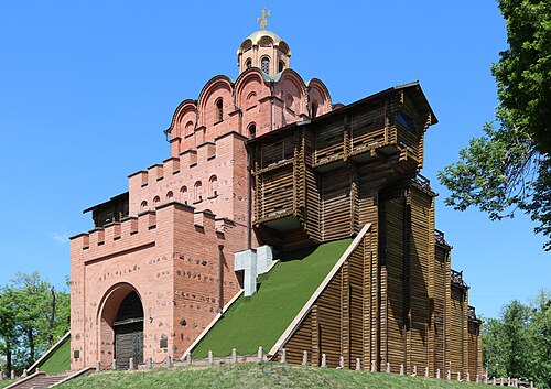
- Golden Gate (Kyiv)Ukraine · 11th century
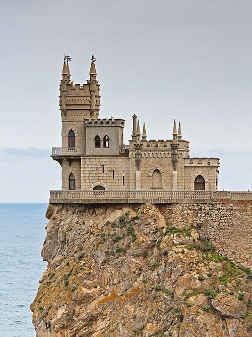
- Swallow's NestUkraine · 20th century
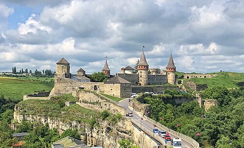
- Kamianets-Podilskyi CastleUkraine · 14th century