 Spain · 10th century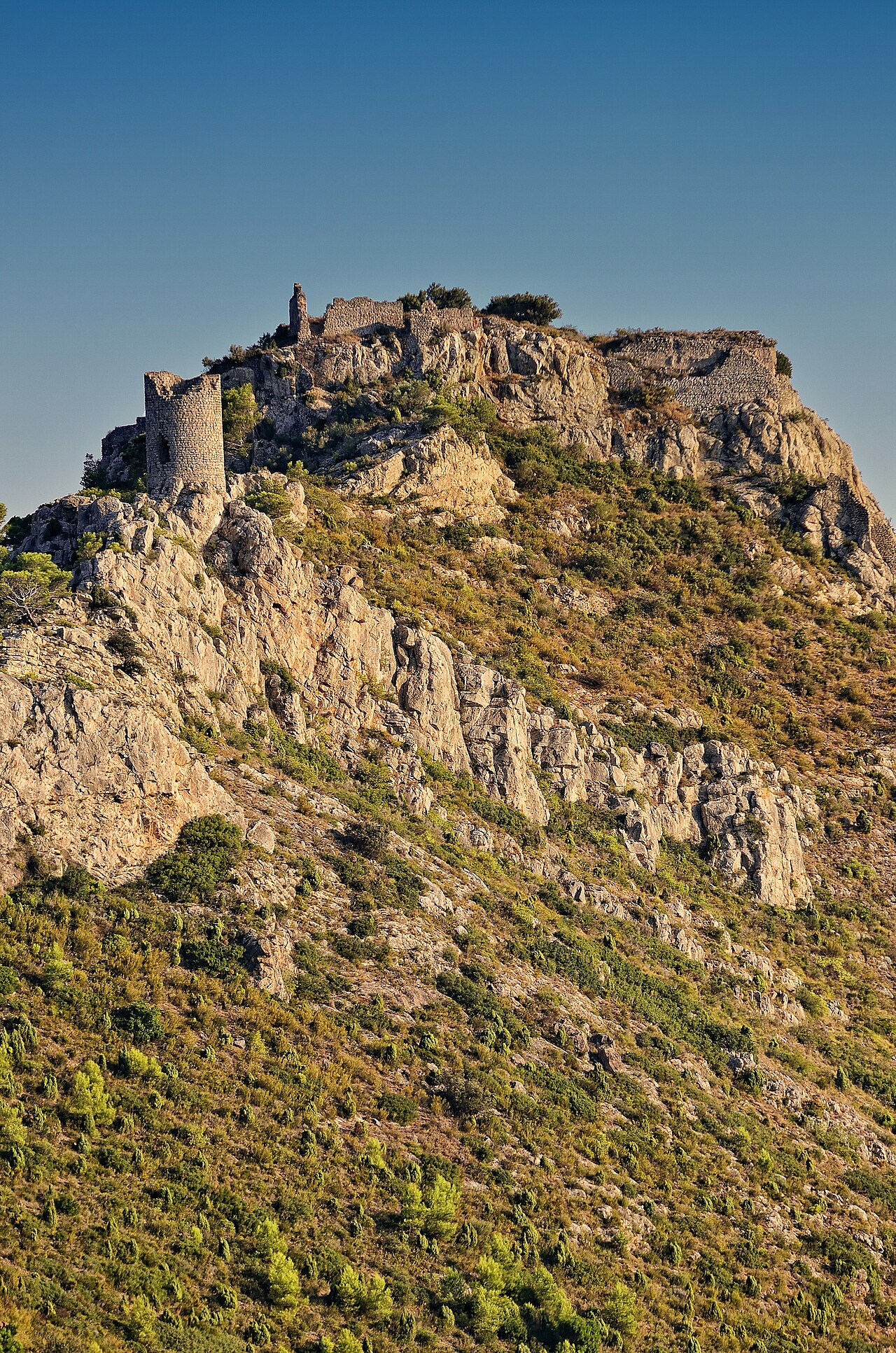
The Castle of Montornés, located in the municipality of Benicàssim, in the province of Castellón, is a 10th-century fortress of Arab origin built on remains of Roman origin, situated on a steep summit in the Desert de les Palmes range, 4 kilometres from the town and at a height of 440 m, in a strategic position for the defence of the area, overlooking a large stretch of sea between the mouths of the Coves and the Mijares. It can be reached via the A-7 motorway, 4 kilometres from Benicàssim, near the Carmelite convent.
This fortress forms a triangle with the San Vicente tower and the Salandó cazoleta, which probably served to reinforce its defence.
Machine-translated from “Castillo de Montornés” on the Spanish Wikipedia, CC BY-SA 4.0.
Castell de Montornés ranks #7,871 of 9,079 worldwide in the atlas's castle fame ranking, and #427 of the 607 mapped in Spain. Founded c. 950, it is older than 92% of the atlas's dated landmarks — one of 193 atlas entries founded in the 10th century. 4 more atlas landmarks stand within 25 km. The nearest day-trip guide is Castellón de la Plana, 10 km away. See how Spain compares in the castle statistics.
View on the interactive castle map →