Castle
Castle of Eslida
 Spain
- Heritage status
- bien de interés cultural
- Location
- Eslida
- Coordinates
- 39.87778°, -0.30861°
- Open data
- Wikidata Q3817085
- Links
- Wikimedia Commons
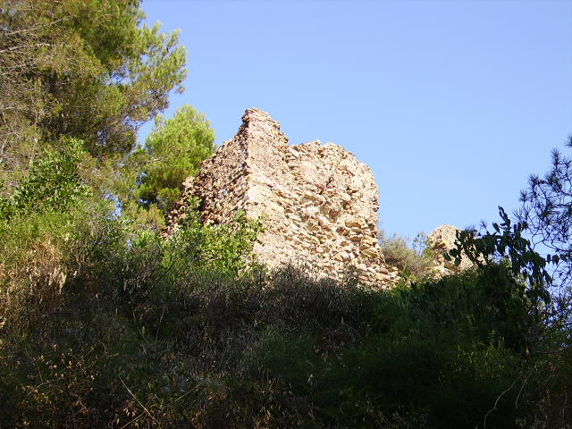
Description
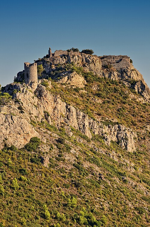
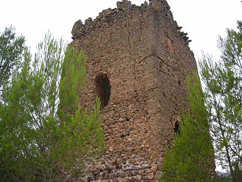
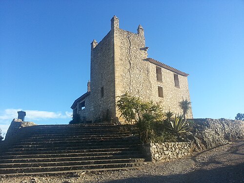
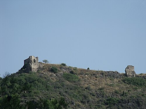
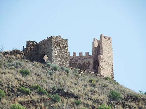
The Castle of Eslida in the province of Castellón is a medieval fortress whose present structure, both visible and inferable, dates from the Muslim invasion, and it is situated on a summit crowning the town. The monument is reached by following the Artana road until reaching some chalets situated above that road; then an asphalted stretch climbs to the said chalets, and from there it is necessary to climb a steep, vegetation-covered slope to reach the ruins.
Given the prominence of the town in medieval times, the fortification must have had some strategic significance, even though no battles or sieges are known, not even during the skirmishes that occurred during the Morisco revolt in the 16th century (1526).
After the expulsion of the Moriscos, both fortification and town suffered a marked decline which, in the case of the former and despite the town's flourishing, has not ceased.
Machine-translated from “Castillo de Eslida” on the Spanish Wikipedia, CC BY-SA 4.0.
In the rankings
Castle of Eslida ranks #9,374 of 9,902 worldwide in the atlas's castle fame ranking, and #598 of the 646 mapped in Spain. 16 more atlas landmarks stand within 25 km. The nearest day-trip guide is Castellón de la Plana, 26 km away. See how Spain compares in the castle statistics.
Castles nearby
- Castell de Benalí4 km · Spain
- Castle of Artana5 km · Spain
- Castle of Alcúdia de Veo6 km · Spain
- Castle of Azuébar7 km · Spain
More castles in Spain
- Castell de MontornésSpain · 10th century
- Castillo de AyódarSpain
- Castle of AtzenetaSpain
- Castle of VillamalurSpain · 10th century