Castle
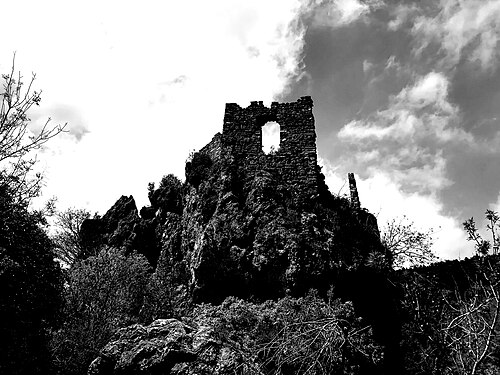
Castillo de Ayódar
 Spain
- Heritage status
- bien de interés cultural
- Location
- Ayódar
- Elevation
- 542 m
- Coordinates
- 39.9958°, -0.37437°
- Open data
- Wikidata Q3823691
- Links
- OpenStreetMap · Wikimedia Commons
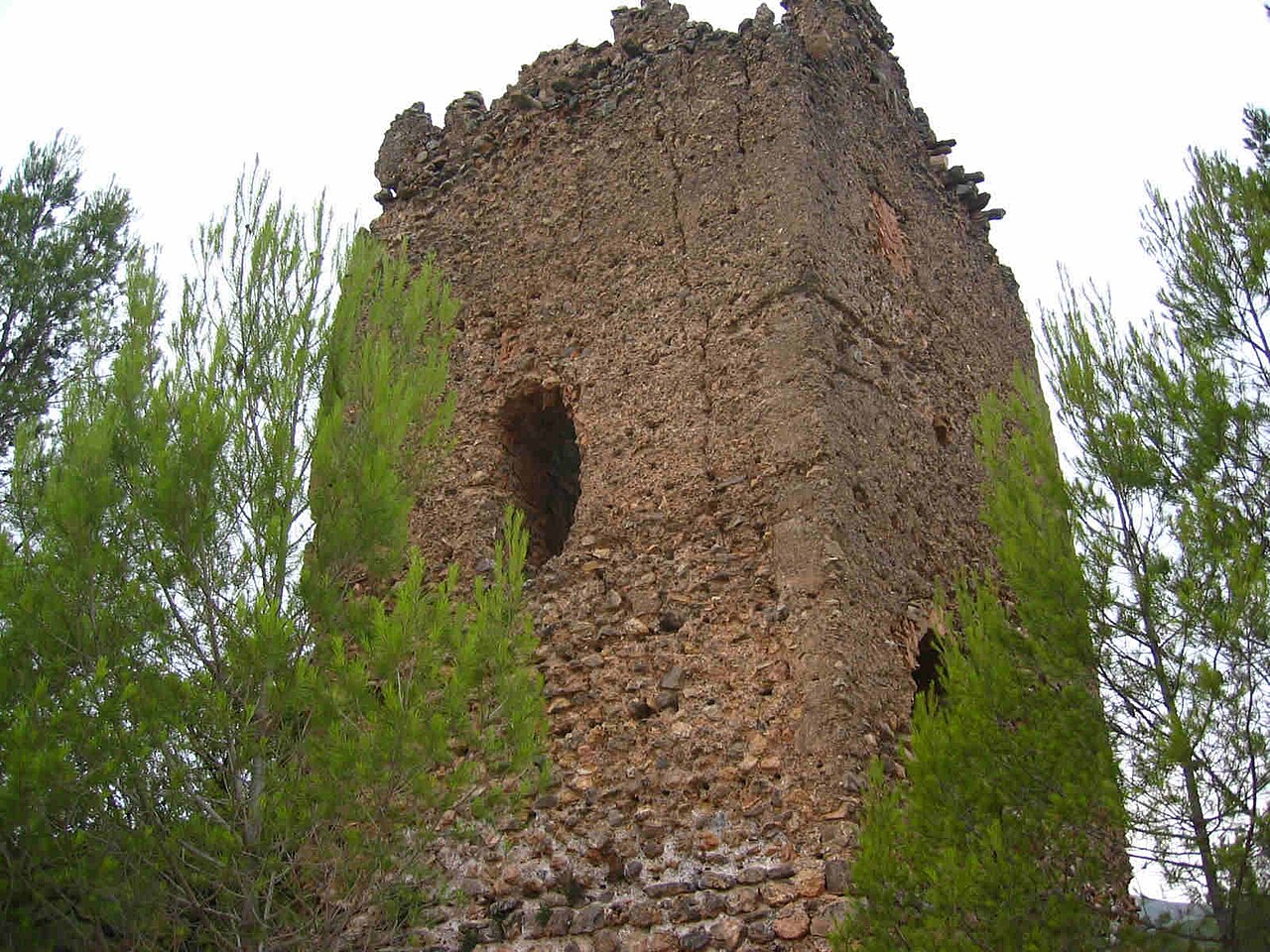
Description
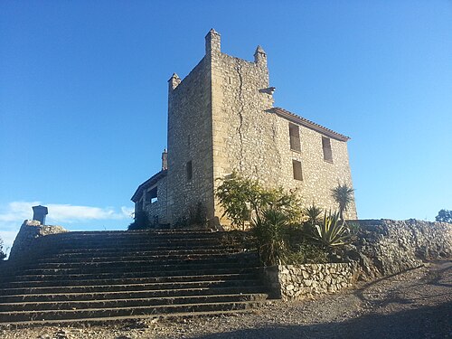
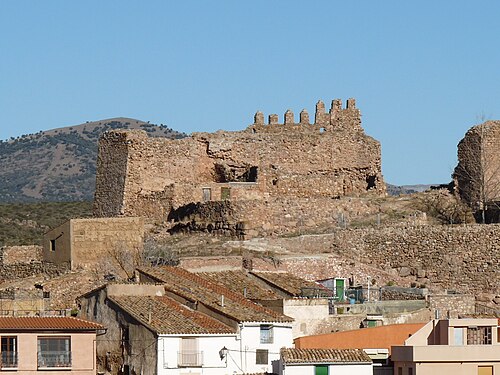
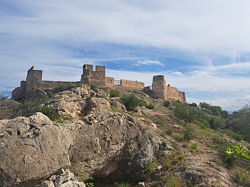
The Castle of Ayódar, located in the municipality of Ayódar (province of Castellón, Spain), is situated on the left bank of the Rambla de Villamalur and on a hill 542 metres high. It is a medieval castle of Arab origin and of the mountain type with an irregular, scattered plan, with a powerful off-centre main tower that defends its most vulnerable flank.
The castle belonged to the domains of Zayd Abu Zayd and was later ceded to his son, then passed to the Church and the Crown, finally belonging to various noble families. In 1611, after the expulsion of the Moriscos, it was granted a settlement charter, becoming the seat of the barony of Ayódar. In 1837, during the First Carlist War, conservative forces occupied the town.
Machine-translated from “Castillo de Ayódar” on the Spanish Wikipedia, CC BY-SA 4.0.
In the rankings
Castillo de Ayódar ranks #9,430 of 9,902 worldwide in the atlas's castle fame ranking, and #621 of the 646 mapped in Spain. 14 more atlas landmarks stand within 25 km. The nearest day-trip guide is Castellón de la Plana, 29 km away. See how Spain compares in the castle statistics.
Castles nearby
- Castle of Villamalur4 km · Spain
- Castle of Toga5 km · Spain
- Castell de Maús6 km · Spain
- Castle of Xinquer8 km · Spain
More castles in Spain
- Castle of AtzenetaSpain
- Castle of Aranda de MoncayoSpain · 12th century
- TorreparedonesSpain
- Castle of BairénSpain