 Spain
Spain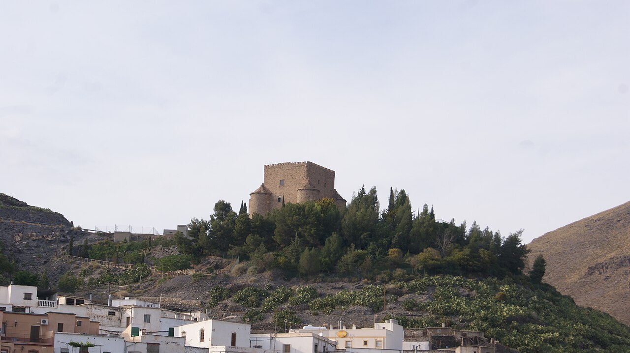
The Castillo de Gérgal is a late medieval defensive construction located in the Andalusian municipality of Gérgal, province of Almería (Spain). Its strategic siting northeast of the town, on one of the ridges forming the foothills of the Sierra de los Filabres, gives it broad views over the town and the Gérgal watercourse, and it is in turn protected to the north by the natural wall formed by the Loma de Tablas.
Machine-translated from “Castillo de Gérgal” on the Spanish Wikipedia, CC BY-SA 4.0.
Castillo de Gérgal ranks #8,247 of 9,079 worldwide in the atlas's castle fame ranking, and #481 of the 607 mapped in Spain. 2 more atlas landmarks stand within 25 km. The nearest day-trip guide is Granada, 94 km away. It is one of the 124 landmarks on the atlas's regional map of Andalusia. See how Spain compares in the castle statistics.
View on the interactive castle map →