 Spain · 12th century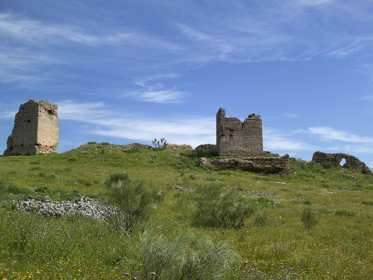
Giribaile Castle is a ruined Spanish military fortification and Bienes de Interés Cultural landmark, built in the 12th century, during the etapa islámica. It situated in the vicinity of the village of Guadalén, in the town of jiennense de Vilches (Andalucía, España). It is situated on the northern edge of a plateau about 500 meters above sea level, visually controlling the valley of the río Guadalimar.
Text adapted from “Giribaile Castle” on Wikipedia, CC BY-SA 4.0.
Castillo de Giribaile ranks #8,443 of 9,079 worldwide in the atlas's castle fame ranking, and #513 of the 607 mapped in Spain. Founded c. 1150, it is older than 80% of the atlas's dated landmarks — one of 756 atlas entries founded in the 12th century. 4 more atlas landmarks stand within 25 km. The nearest day-trip guide is Jaén, 47 km away. It is one of the 124 landmarks on the atlas's regional map of Andalusia. See how Spain compares in the castle statistics.
View on the interactive castle map →