 Guatemala · 17th century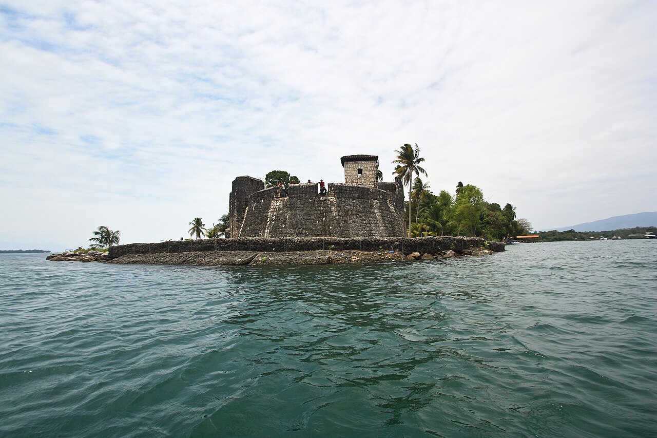
The Castle of San Felipe de Lara (Castillo de San Felipe de Lara) (often referred to simply as the Castillo de San Felipe) is a Spanish colonial fort at the entrance to Lake Izabal in eastern Guatemala. Lake Izabal is connected with the Caribbean Sea via the Dulce River and El Golfete lake. The fort was strategically situated at the narrowest point on the river. The Castillo de San Felipe was used by the Spanish for several centuries, during which time it was destroyed and looted several times by pirates.
The fort is listed on the UNESCO World Heritage Tentative List and is a popular regional tourist destination.
Text adapted from “Castle of San Felipe de Lara” on Wikipedia, CC BY-SA 4.0.
Castillo de San Felipe de Lara ranks #2,036 of 9,079 worldwide in the atlas's castle fame ranking, and #1 of the 3 mapped in Guatemala. Founded 1644, it is older than 27% of the atlas's dated landmarks — one of 721 atlas entries founded in the 17th century. Its Wikipedia articles were opened 2,036 times in the last 60 days, more than 70% of the atlas. See how Guatemala compares in the castle statistics.
View on the interactive castle map →