 India · 15th century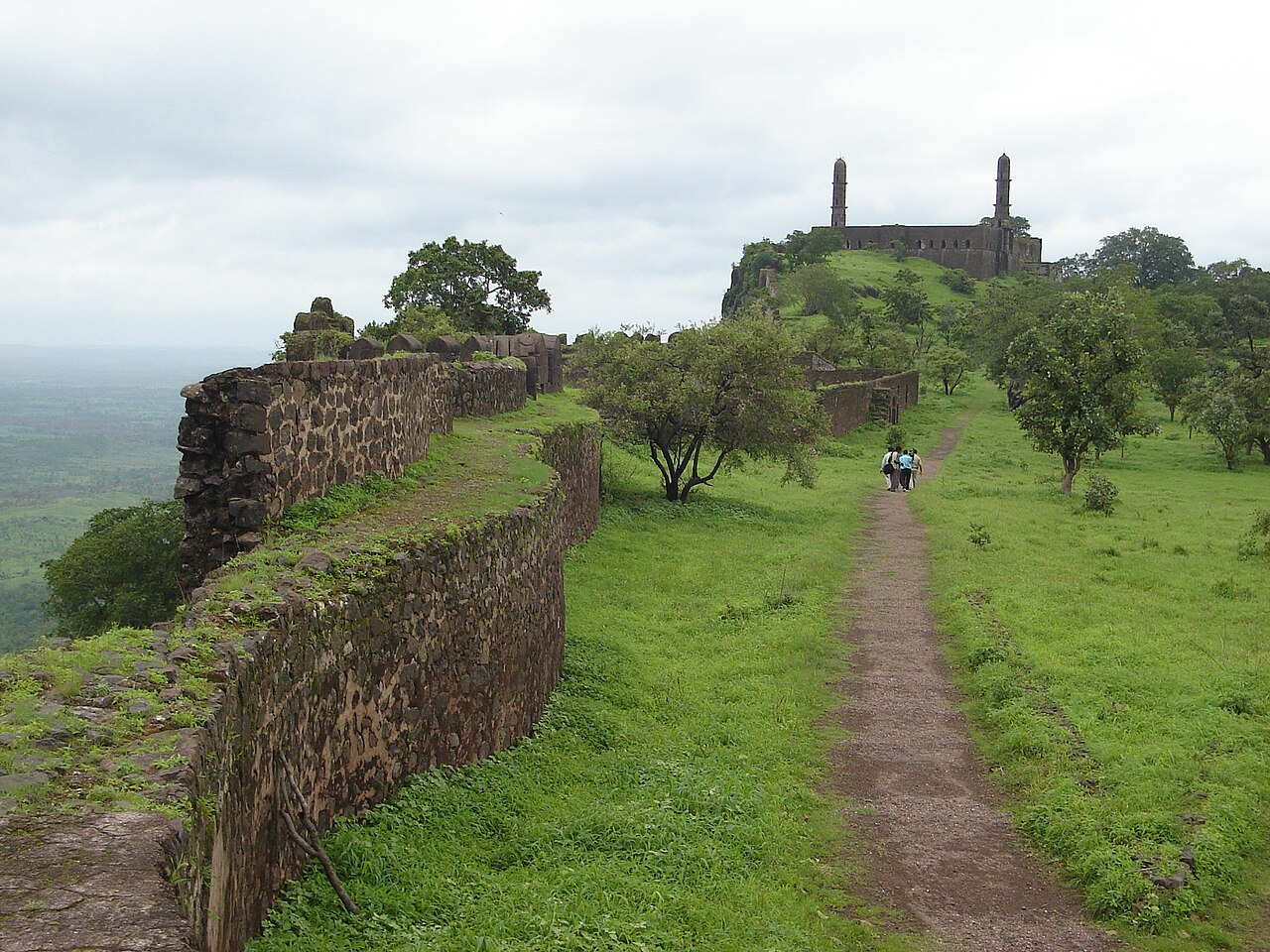
Asirgarh Fort is an Indian fortress (qila) situated in the Satpura Range about 20 kilometres (12 mi) north of the city of Burhanpur, in the Indian state of Madhya Pradesh. The fort is said to date to the early 15th century and commands a pass through the Satpuras connecting the valleys of the Narmada and Tapti rivers, one of the most important routes from northern India to the Deccan, it was known as the "key to the Deccan".
Text adapted from “Asirgarh Fort” on Wikipedia, CC BY-SA 4.0.
Asirgarh Fort ranks #1,519 of 9,079 worldwide in the atlas's castle fame ranking, and #59 of the 224 mapped in India. Founded c. 1425, it is older than 49% of the atlas's dated landmarks — one of 554 atlas entries founded in the 15th century. Its Wikipedia articles were opened 3,963 times in the last 60 days, more than 83% of the atlas. See how India compares in the castle statistics.
View on the interactive castle map →