 Portugal · 14th century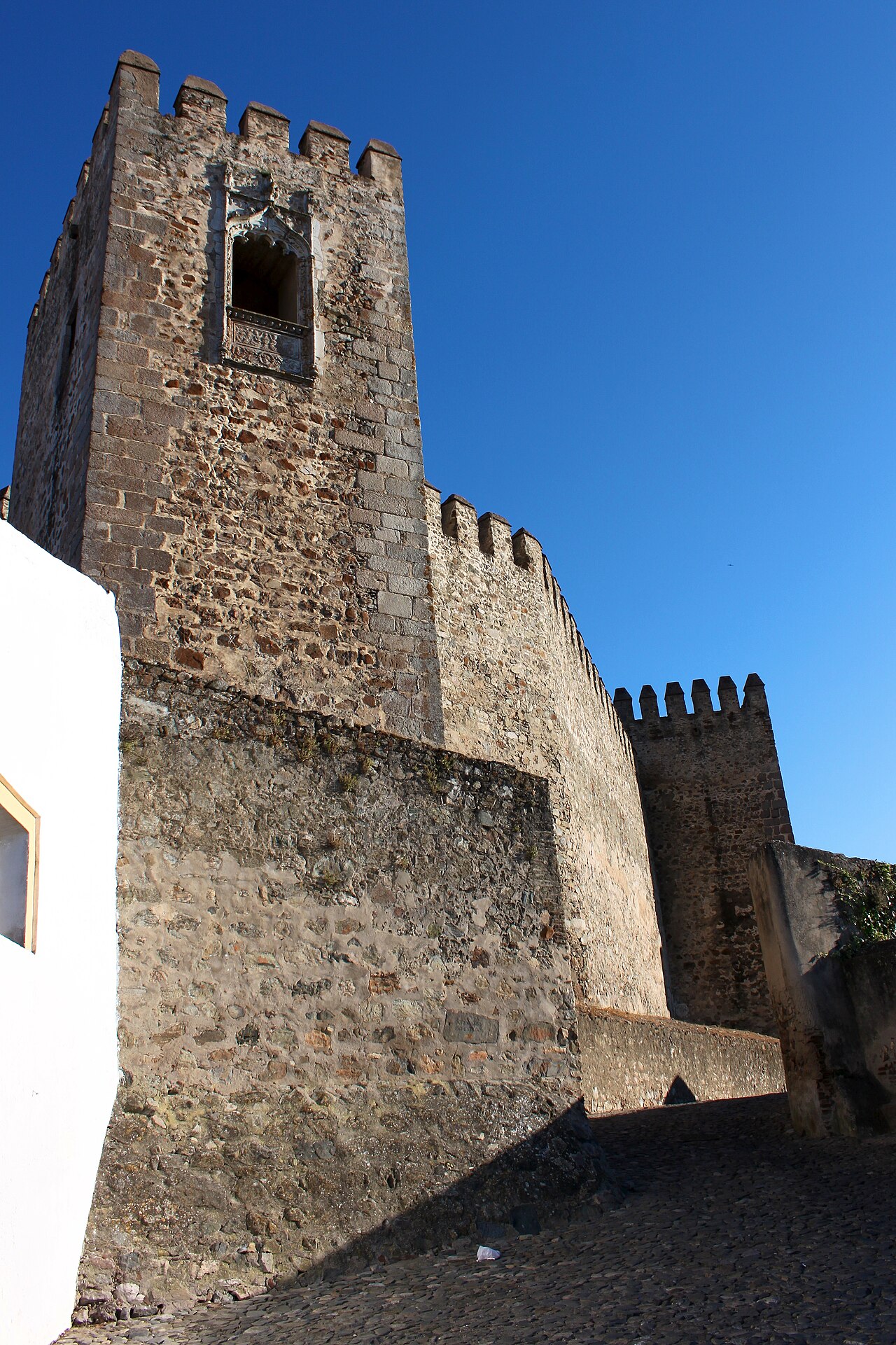
The Castle of Campo Maior (Portuguese: Castelo de Campo Maior) is a medieval military fortification, in the civil parish of São João Bapista, municipality of Campo Maior, part of a first line of defense in the Portuguese Alentejo, oriented towards Spain, in conjunction with the military forts of Ouguela, Elvas, Olivença and Juromenha. It is a walled bulwark of the modern era, highlighted by a Renaissance-era window in the northern tower of the castle. It has been listed as a National monument since 1911.
Text adapted from “Castle of Campo Maior” on Wikipedia, CC BY-SA 4.0.
Castle of Campo Maior ranks #4,986 of 9,035 worldwide in the atlas's castle fame ranking, and #74 of the 212 mapped in Portugal. Founded 1310, it is older than 60% of the atlas's dated landmarks, one of 757 atlas entries founded in the 14th century. 9 more atlas landmarks stand within 25 km. The nearest day-trip guide is Évora, 87 km away. It is one of the 48 landmarks on the atlas's regional map of the Alentejo. See how Portugal compares in the castle statistics.
View on the interactive castle map →