 Spain · 2nd century BC
Castro of San Cibrao de Las ranks #2,575 of 9,040 worldwide in the atlas's castle fame ranking, and #93 of the 606 mapped in Spain. Founded c. 200 BC, it is older than 99% of the atlas's dated landmarks, one of 12 atlas entries founded in the 2nd century BC. 1 more atlas landmarks stand within 25 km. The nearest day-trip guide is Braga, 96 km away. See how Spain compares in the castle statistics.
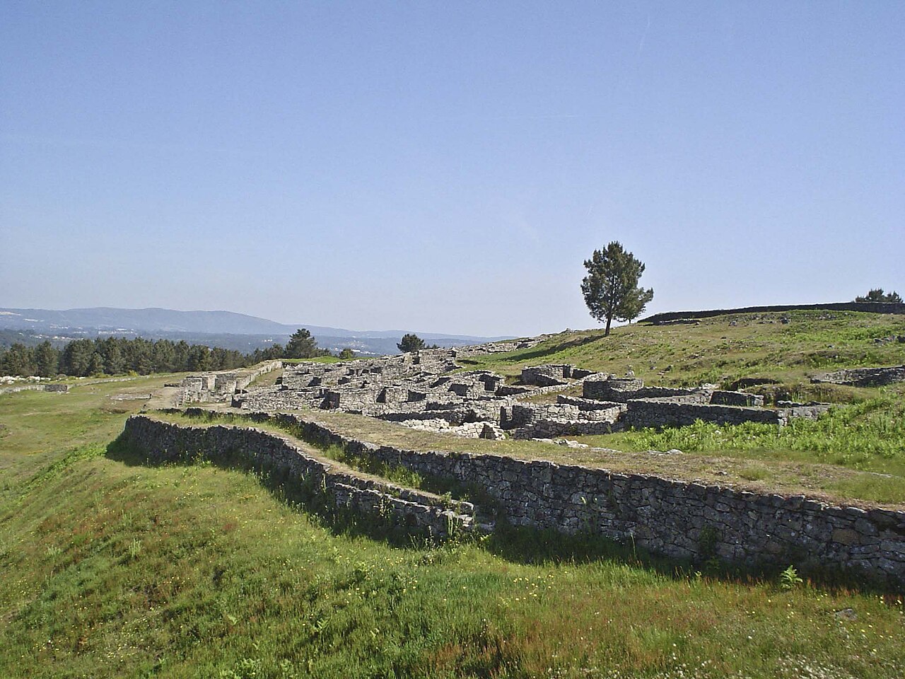
San Cibrao de Las hill fort (Castro de San Cibrao de Las) is an archeological site in Galicia, Spain. It is a hill fort of the so-called castro culture. Rather than a single castle, it encompasses an entire fortified town or village.
The place was inhabited from the second century BC to the second century AD. It flourished during the first century, at the beginning of Roman rule in Galicia.
The ruins are located on a 473-metre-high hill, covering an area 384 m long and 314 m wide. Unlike the other hill forts of the area, there are many straight walls and fewer curving structures.
Text adapted from “Castro of San Cibrao de Las” on Wikipedia, CC BY-SA 4.0.
View on the interactive castle map →