Ruin
Çavuştepe
 Turkey · 8th century BC
- Founded
- 764 BC
- Location
- Gürpınar
- Coordinates
- 38.35297°, 43.46111°
- Open data
- Wikidata Q272699
- Links
- OpenStreetMap · Wikimedia Commons
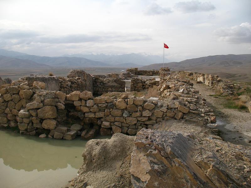
Description
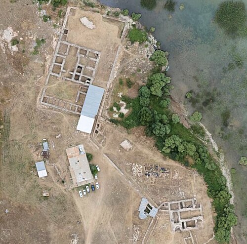
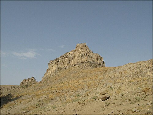
Sardurihinilli, also known as Haykaberd (Armenian: Հայկաբերդ, lit. 'Fortress of Hayk') or Çavuştepe Kalesi, is an ancient Urartian fortified site located on a ridge on the northeastern edge of the village of Çavuştepe in the Gürpınar district of Van Province in eastern Turkey. It is located approximately 25 kilometers southeast of Van along the road leading to the city of Hakkâri, in a valley once known as Hayots Dzor in historic Armenia. It was founded by the Urartian king Sarduri II (r. 764–735) some time during his reign in the 8th century BC and is believed to be identical with the fortress of Sardurihurda mentioned in the same king's cuneiform inscriptions.
In Armenian folklore it is identified with Haykaberd or Haykʻ, the fortress built by Hayk, the legendary founder of the Armenian nation, close to the site where he slew the invading Babylonian king Bel.
Text adapted from “Çavuştepe” on Wikipedia, CC BY-SA 4.0.
In the rankings
Çavuştepe ranks #2,413 of 9,902 worldwide in the atlas's castle fame ranking, and #45 of the 130 mapped in Turkey. Founded 764 BC, it is older than 99% of the atlas's dated landmarks, one of 6 atlas entries founded in the 8th century BC. Its Wikipedia articles were opened 1,205 times in the last 60 days, more than 61% of the atlas. 1 more atlas landmarks stand within 25 km. See how Turkey compares in the castle statistics.
Castles nearby
- Van Fortress20 km · Turkey
- Hoşap Castle30 km · Turkey
- Amiuk53 km · Turkey
- Chehriq
 106 km · Iran
More castles in Turkey
- Khedive PalaceTurkey · 20th century
- Maslak PavilionTurkey · 19th century
- Kubadabad PalaceTurkey
- ZilkaleTurkey · 15th century