 France · 12th century
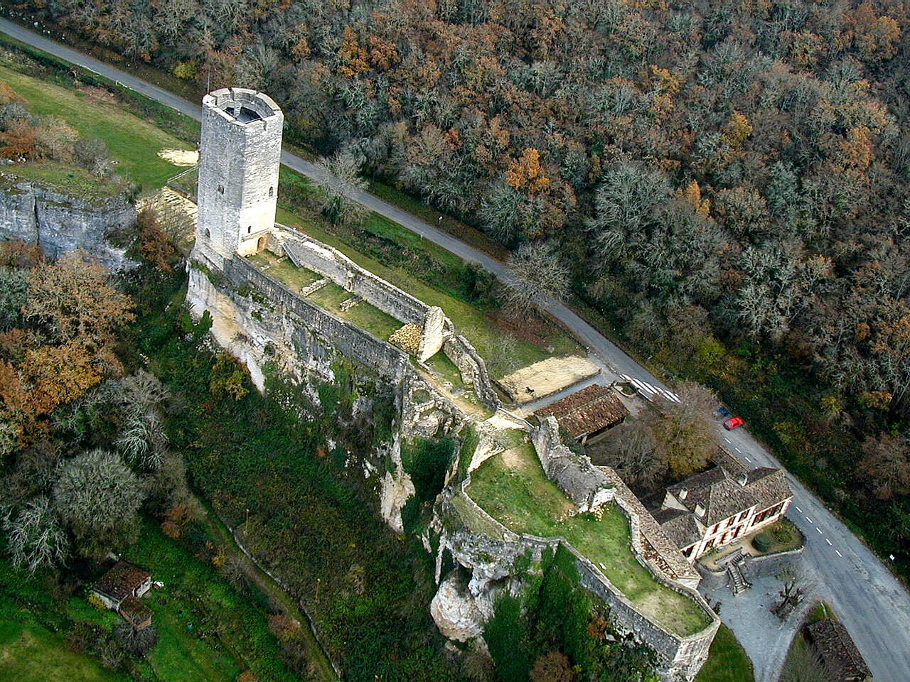
Château de Gavaudun ranks #5,426 of 9,040 worldwide in the atlas's castle fame ranking, and #479 of the 787 mapped in France. Founded c. 1150, it is older than 80% of the atlas's dated landmarks, one of 763 atlas entries founded in the 12th century. 4 more atlas landmarks stand within 25 km. It is one of the 45 landmarks on the atlas's regional map of the Dordogne. See how France compares in the castle statistics.
The Château de Gavaudun is a castle in the village of Gavaudun (Lot-et-Garonne, France) on the river Lède, near the Périgord noir region. It was built on a rocky spur and overhangs the river. The lofty 13th century keep rises 25m above the level of the rock.
In the vicinity are the Château de Bonaguil and the Château de Biron.
The castle was built during the 12th and the 13th centuries, on the main road between Périgord and Agenais.
The bishop of Périgueux besieged it and destroyed it for the first time in 1165.
During the Hundred Years' War it was of central importance in the conflict between England and France.
The Château de Gavaudun has been listed by the French Ministry of Culture as a monument historique since 1862.
Text adapted from “Château de Gavaudun” on Wikipedia, CC BY-SA 4.0.
View on the interactive castle map →