Fortress
Citadel of Montreuil-sur-Mer
 France · 16th century
- Founded
- c. 1550
- Heritage status
- monument historique inscrit · classified historical monument
- Location
- Montreuil-sur-Mer
- Coordinates
- 50.46694°, 1.76°
- Open data
- Wikidata Q2974391
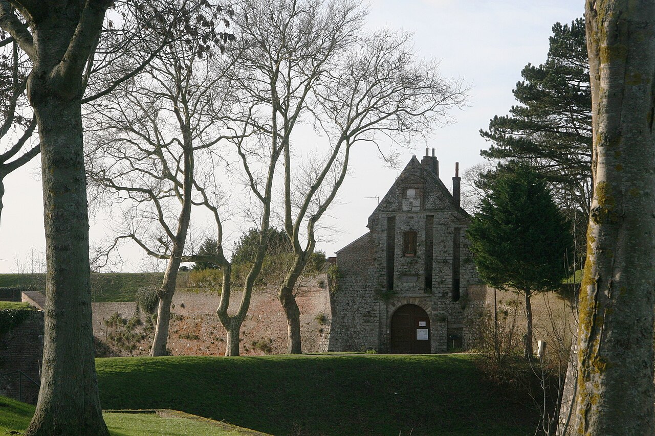
Description
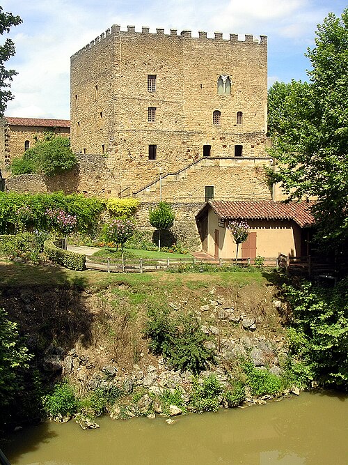
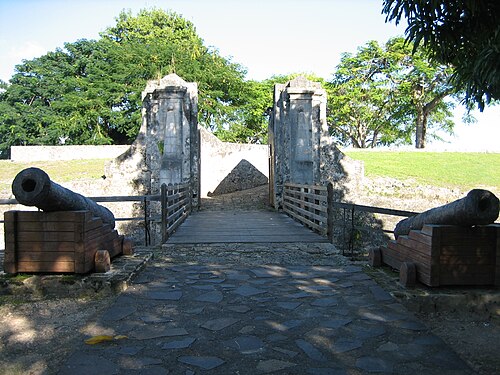
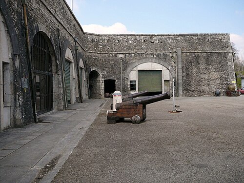
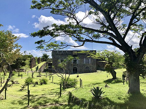
The citadel of Montreuil-sur-Mer is a 16th-century pre-Vauban French royal citadel located in Montreuil-sur-Mer in the Pas-de-Calais department in northern France. Built on the foundations of a medieval royal castle, it was listed as a historical monument on December 18, 1926.
The citadel is a separate defensive redoubt within the fortified town walls, the ramparts of which had been listed as historical monuments on September 10, 1913. Between 2016 and 2022, volunteers from the Chantiers histoire et architecture médiévales association participated in the citadel's restoration.
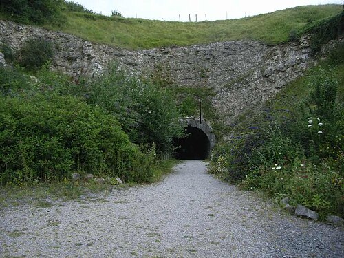
Parts of the structure can be dated to the 13th, 15th and 17th centuries. An underground structure was built at the site by the occupying German forces during World War II.
Text adapted from “Citadel of Montreuil-sur-Mer” on Wikipedia, CC BY-SA 4.0.
In the rankings
Citadel of Montreuil-sur-Mer ranks #5,414 of 9,040 worldwide in the atlas's castle fame ranking, and #478 of the 787 mapped in France. Founded c. 1550, it is older than 36% of the atlas's dated landmarks, one of 887 atlas entries founded in the 16th century. Its Wikipedia articles were opened 1,114 times in the last 60 days, more than 53% of the atlas. 1 more atlas landmarks stand within 25 km. The nearest day-trip guide is Lille, 93 km away. See how France compares in the castle statistics.
Castles nearby
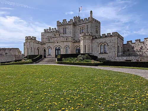
- Hardelot Castle22 km · France
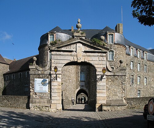
- Château de Boulogne-sur-Mer30 km · France
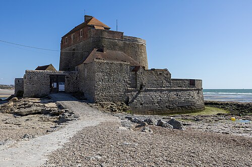
- Fort Mahon39 km · France
- Fortress of Mimoyecques43 km · France
More castles in France
- Donjon LacatayeFrance · 14th century
- Fort Fleur d'ÉpéeFrance · 18th century
- Fort MontbareyFrance · 18th century
- Fort Napoléon des SaintesFrance · 18th century