Fortress
Fort Mahon
 France · 17th century
- Founded
- 1680
- Architect
- Sébastien Le Prestre de Vauban
- Heritage status
- classified historical monument
- Location
- Ambleteuse
- Coordinates
- 50.80528°, 1.60056°
- Open data
- Wikidata Q2612774
- Links
- Wikimedia Commons
Description
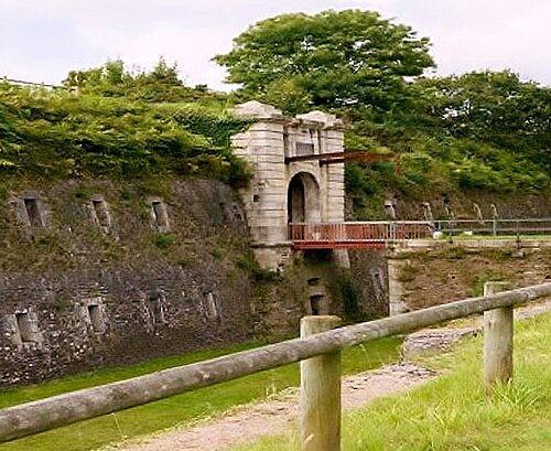
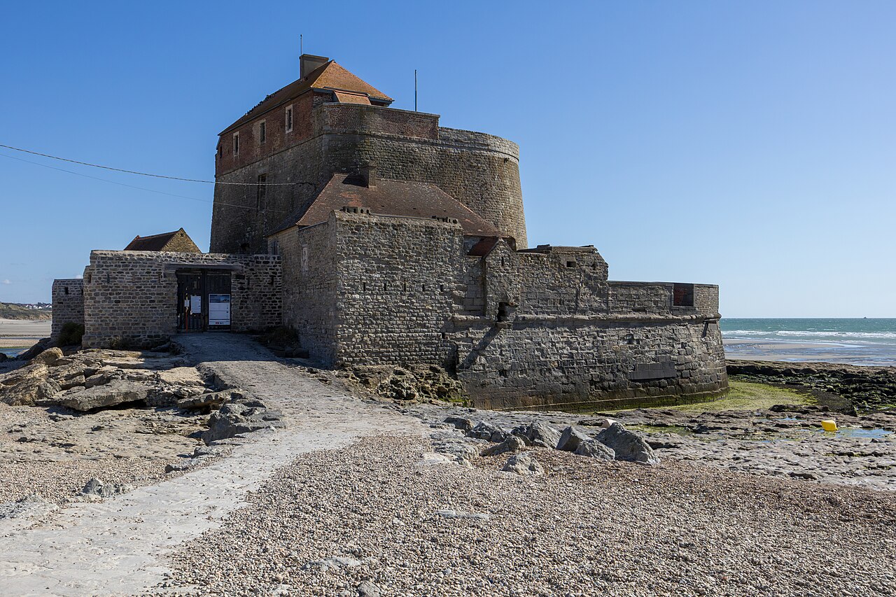
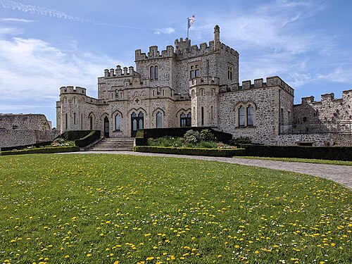
Fort Mahon (French: Fort d'Ambleteuse or Fort Vauban) is a sea fort by the commune of Ambleteuse in the Pas-de-Calais, northern France. The fort was built at the end of the 17th century by the military architect Vauban on the orders of Louis XIV to defend the port in the estuary of the Slack. It was designated a Monument historique in the 1960s.
The original title of the fort or tower is Ambleteuse in all official documents including the Napoleonic cadastre of 1803. However, the name Fort Mahon, which is used in English, did not appear until in 1840 and is probably the result of an administrative or transcription error.
On October 19, 1965, the government of France classified the fort as a historical monument. However, the decree stated that although the fortification was named Ambleteuse it was also sometimes called Fort Mahon. The private heritage group that manages the site adheres to what they consider to be the official name: Fort of Ambleteuse.
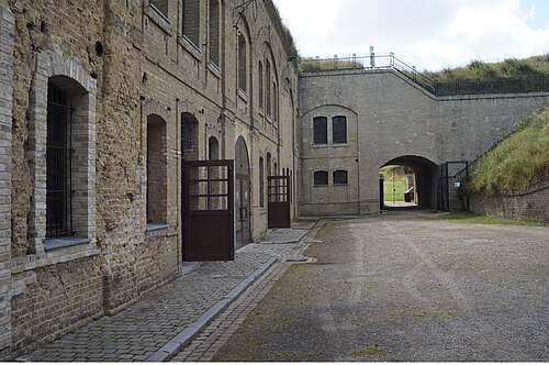
Work to build Fort Ambleteuse at the mouth of the Slack was completed in 1680. Vauban sited the fortification at a point one can only access at low tide. Its defences consisted of a five-piece coastal artillery battery situated within a stone-lined bastion (or casemate), with seaward facing embrasures set in walls up to 3 m (9.8 ft) thick. An outer sea wall provided further protection for the inner scarp's gun terrace. To the landward side, Vauban built a small parade ground and living quarters for the fort's garrison. The landward walls had embrasures for muskets and small cannons.
The gun platform within the bastion was once was a large open space but German forces during the Second World War added a concrete partition that cut the space in half. They also added a pillbox to the inner side of the fort to strengthen its landward defences.
During their occupation of France, the Germans used the fort to imprison foreign forced labourers.
In 1945, two sea mines exploded, destroying the outer defences. The wall has been restored in its original form with battlements.
Mahon is now the only preserved coastal fort still standing between Cherbourg and the Belgian border. It was saved by geologist Jacques Mereau Destombes. After recognizing its historical importance, he recruited a team of volunteers in 1967.
Text adapted from “Fort Mahon” on Wikipedia, CC BY-SA 4.0.
In the rankings
Fort Mahon ranks #4,713 of 9,902 worldwide in the atlas's castle fame ranking, and #377 of the 954 mapped in France. Founded 1680, it is older than 23% of the atlas's dated landmarks, one of 755 atlas entries founded in the 17th century. Its Wikipedia articles were opened 917 times in the last 60 days, more than 52% of the atlas. 4 more atlas landmarks stand within 25 km. The nearest day-trip guide is Eastbourne, 93 km away. See how France compares in the castle statistics.
Castles nearby
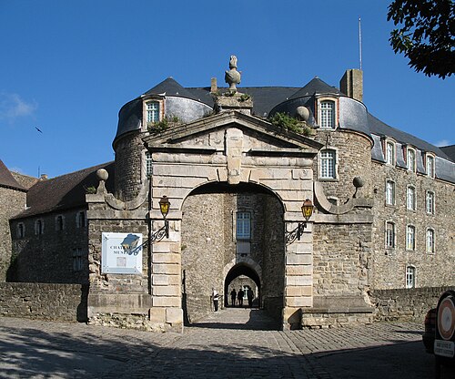
- Château de Boulogne-sur-Mer9 km · France
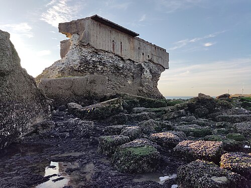
- Heurt Fort11 km · France
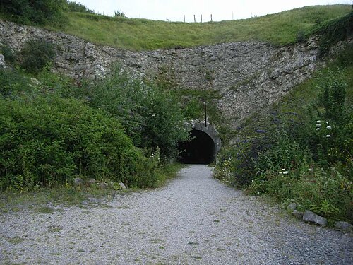
- Fortress of Mimoyecques12 km · France
- Hardelot Castle18 km · France
More castles in France
- Questel FortFrance · 18th century
- Fort des DunesFrance · 19th century
- Fort du mont AlbanFrance · 16th century
- Fort Saint-ElmeFrance · 16th century