Fortress
Cité de Carcassonne
 France
- Heritage status
- World Heritage Site · classified historical monument
- Location
- Carcassonne
- Coordinates
- 43.20644°, 2.36379°
- Open data
- Wikidata Q389269
- Links
- UNESCO · OpenStreetMap · Wikimedia Commons
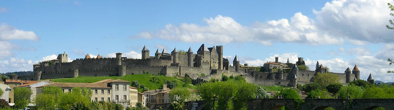
Description
The Cité de Carcassonne (Occitan: Ciutat de Carcassona [siwˈtat de kaɾkaˈsunɔ]) is a medieval citadel located in the French city of Carcassonne, in the Aude department, Occitania region. It is situated on a hill on the right bank of the river Aude, in the south-eastern part of the city proper.
The citadel was restored at the end of the 19th century by the theorist and architect Eugène Viollet-le-Duc. In 1997, it was added to the UNESCO list of World Heritage Sites because of its exceptional testimony to the architecture and planning of a medieval fortress town.
Text adapted from “Cité de Carcassonne” on Wikipedia, CC BY-SA 4.0.
In the rankings
Cité de Carcassonne ranks #145 of 9,902 worldwide in the atlas's castle fame ranking, and #19 of the 954 mapped in France. Its Wikipedia articles were opened 27,345 times in the last 60 days, more than 98% of the atlas. 3 more atlas landmarks stand within 25 km. The nearest day-trip guide is Perpignan, 71 km away. It is one of the 23 landmarks on the atlas's regional map of Cathar Country. It is stop 2 of 18 on the Cathar castle route, Carcassonne to Foix. See how France compares in the castle statistics.
Castles nearby
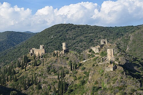
- Châteaux de Lastours14 km · France
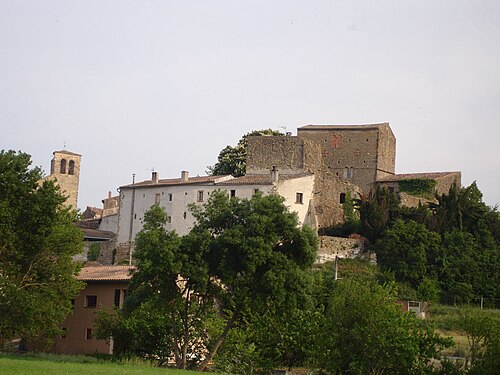
- Château de Pieusse18 km · France
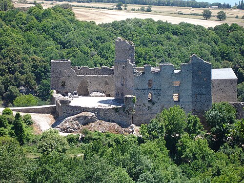
- Château de Saissac23 km · France
- Château de Durfort26 km · France
More castles in France
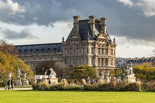
- Louvre PalaceFrance · 12th century
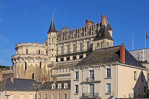
- Château d'AmboiseFrance · 10th century
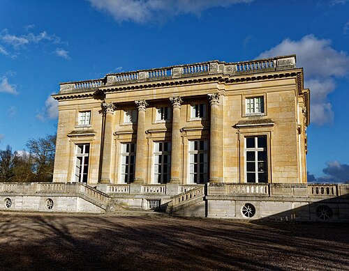
- Petit TrianonFrance · 18th century
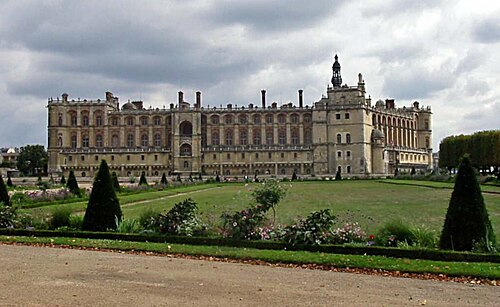
- Château de Saint-Germain-en-LayeFrance · 12th century