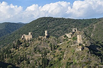
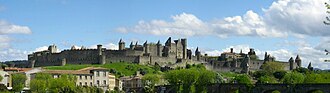
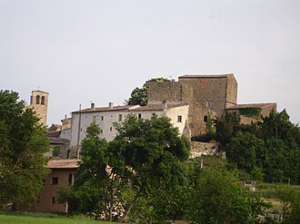
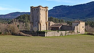
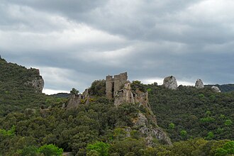
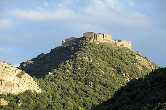
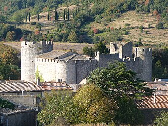
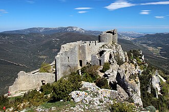
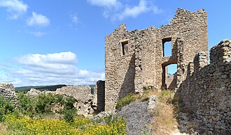
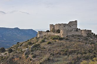
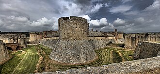
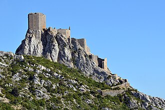
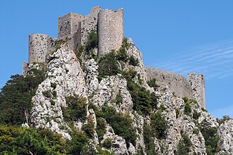
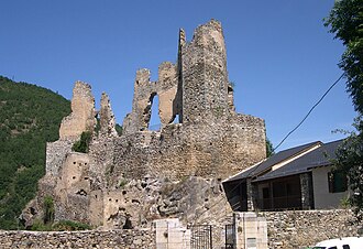
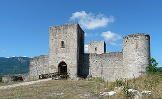
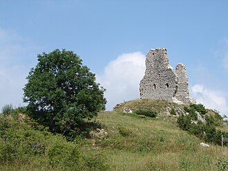
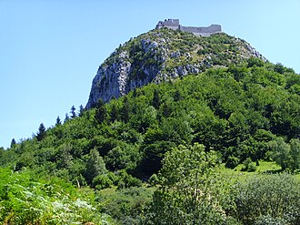
The castles strung along the ridges south of Carcassonne were not built by the Cathars (most were rebuilt by the French crown after the Albigensian Crusade, as a frontier against Aragon), but they are named for them, because this is where the war ended. Montségur fell in March 1244 after a nine-month siege and some 220 Cathars walked into the fire rather than recant. The five that guard the old border are still called the sons of Carcassonne, and in July 2026 the royal fortresses of Languedoc, Carcassonne and these among them, became a UNESCO World Heritage Site.
What this atlas maps on the Cathar castle route
That is every atlas landmark within 17 km of the line, spanning 10th century to 16th century. Nobody picked them: the geography did.
The best known is Cité de Carcassonne, ranked 108 of the 9,035 landmarks in the atlas by Wikipedia presence and real readership. The oldest is Château de Termes, founded c. 950.
The route runs through France. The same ground, without the itinerary: Castles in Cathar Country.
Travelling it
This is mountain driving on narrow departmental roads, and almost every castle is a stiff climb on foot from the car park below it.
Day-trip guides for the towns and cities along it: Perpignan.
See the route on the map →