Fortress
Cittadella di Torino
 Italy · 16th century
- Founded
- 1564
- Location
- Turin
- Coordinates
- 45.07111°, 7.67444°
- Open data
- Wikidata Q206266
Description
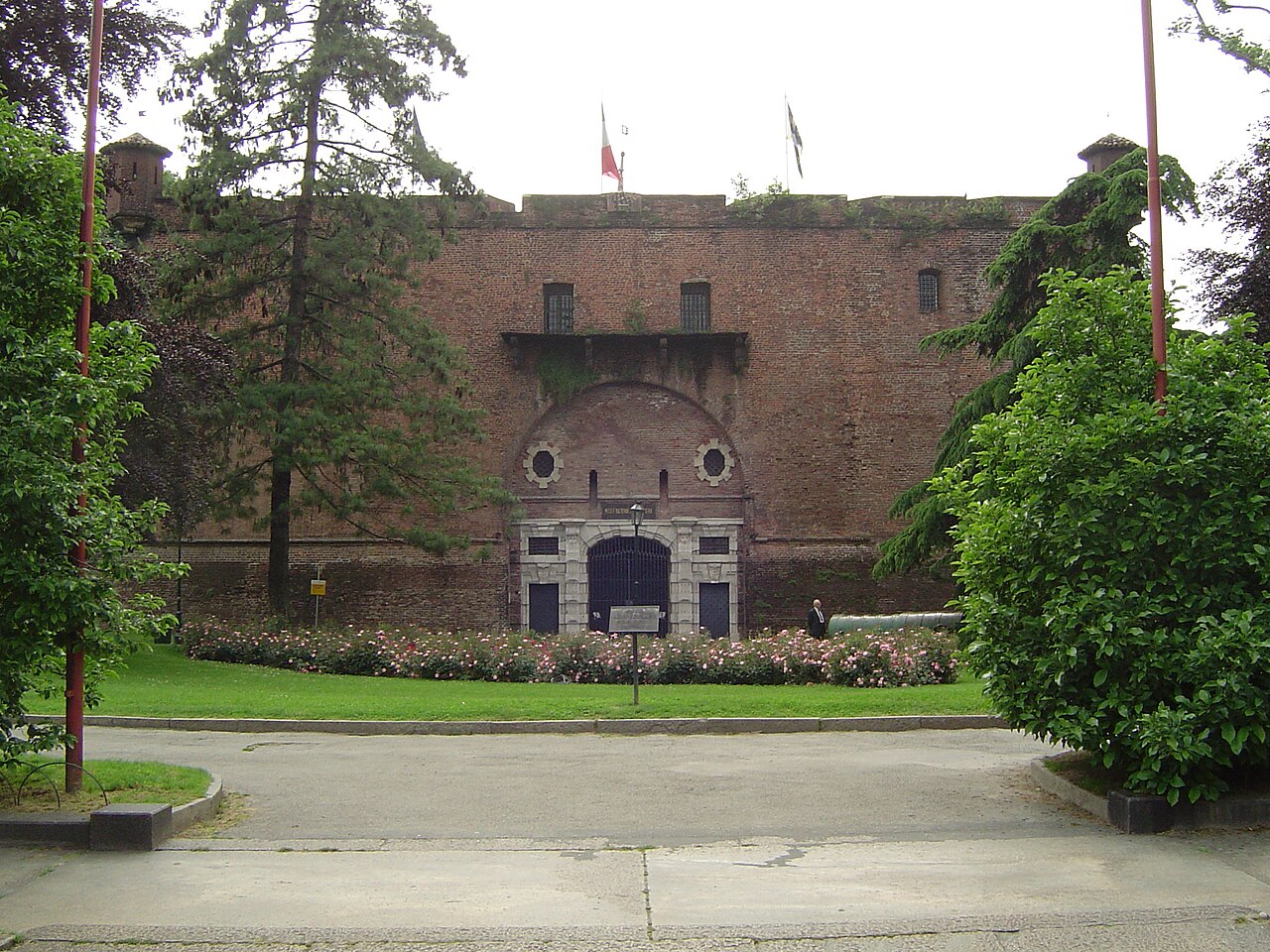
The Cittadella di Torino (Sitadela 'd Turin in Piedmontese) was a pentagonal Savoy fortress located along the old city walls of Turin, south-west of the historic centre.
Built between 1564 and 1570 to designs by Francesco Paciotto and under the direction of General Robilant, it was commissioned by Duke Emanuele Filiberto of Savoy, who intended to modernise the city's defences after the transfer of the Duchy's capital from Chambéry to Turin. It is remembered above all as the scene of the War of the Spanish Succession, during the siege of 1706 by the Franco-Spanish army of King Louis XIV.
Of the old fortification only the Mastio survives, the two-storey entrance building, which houses the National Historical Museum of Artillery.
Machine-translated from “Cittadella di Torino” on the Italian Wikipedia, CC BY-SA 4.0.
In the rankings
Cittadella di Torino ranks #4,158 of 9,040 worldwide in the atlas's castle fame ranking, and #312 of the 555 mapped in Italy. Founded 1564, it is older than 35% of the atlas's dated landmarks, one of 887 atlas entries founded in the 16th century. Its Wikipedia articles were opened 3,080 times in the last 60 days, more than 78% of the atlas. 10 more atlas landmarks stand within 25 km. The nearest day-trip guide is Turin, 1 km away. See how Italy compares in the castle statistics.
Castles nearby
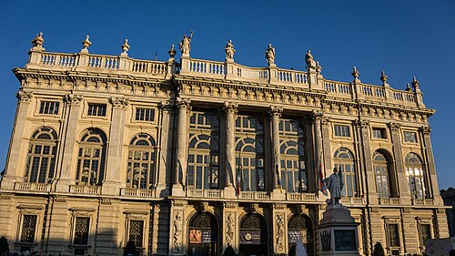
- Palazzo Madama and Casaforte degli Acaja, Turin1 km · Italy
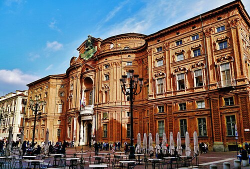
- Palazzo Carignano1 km · Italy
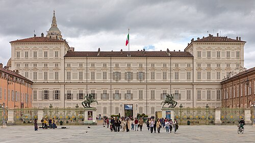
- Royal Palace of Turin1 km · Italy
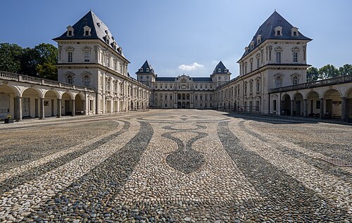
- Castello del Valentino2 km · Italy
More castles in Italy
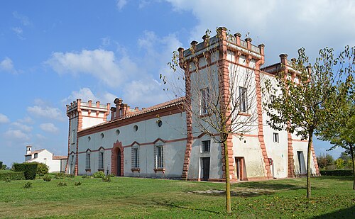
- Delizia del VergineseItaly · 16th century
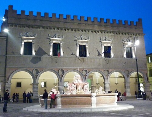
- Ducal Palace of PesaroItaly · 13th century
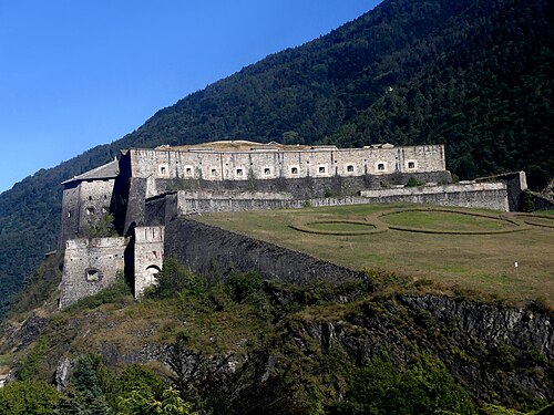
- Fort of ExillesItaly · 14th century
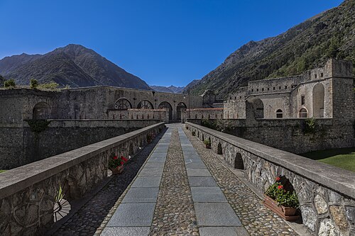
- Forte AlbertinoItaly · 19th century