Ruin
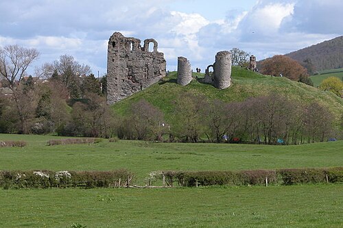
Clifford Castle and Barbican
 England
- Heritage status
- Grade I listed building · scheduled monument
- Location
- Clifford
- Coordinates
- 52.1043°, -3.10527°
- Open data
- Wikidata Q5132895
- Links
- Wikimedia Commons
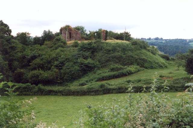
Description
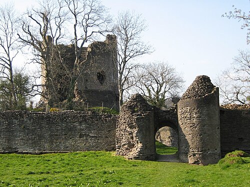
Clifford Castle is a ruined castle in the village of Clifford which lies 2.5 miles to the north-east of Hay-on-Wye in the Wye Valley in Herefordshire, England (grid reference SO243457). It was the caput of the feudal barony of Clifford, a Marcher Lordship (owing allegiance directly to the king, but separate from the rest of the kingdom). The castle stands in the grounds of a private house and is only open to the public on certain days of the year.
Text adapted from “Clifford Castle” on Wikipedia, CC BY-SA 4.0.
In the rankings
Clifford Castle and Barbican ranks #4,364 of 9,902 worldwide in the atlas's castle fame ranking, and #310 of the 397 mapped in England. 7 more atlas landmarks stand within 25 km. The nearest day-trip guide is Cardiff, 69 km away. See how England compares in the castle statistics.
Castles nearby
- Hay Castle
 4 km · Wales
- Kinnersley Castle11 km · England
- Bronllys Castle15 km · Wales
- Longtown Castle18 km · England
More castles in England
- Clun CastleEngland
- St Briavels CastleEngland · 13th century
- Stone CastleEngland · 12th century
- Eye CastleEngland · 11th century