Castle
Leybourne Castle
 England · 13th century
- Founded
- 1275
- Heritage status
- Grade II* listed building · scheduled monument
- Location
- Leybourne
- Coordinates
- 51.30439°, 0.42089°
- Open data
- Wikidata Q15242302
- Links
- Wikimedia Commons
Description
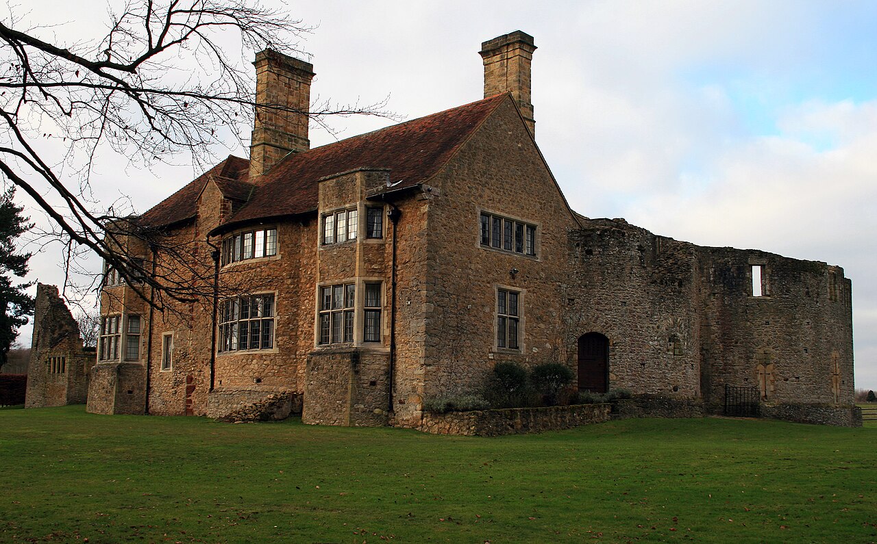
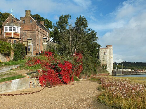
Leybourne Castle is a 13th-century castle in the parish of Leybourne, Kent, west of Castle Way.
The two semi circular bastions of the twin towered gatehouse built in 1275 remain and are incorporated into a Tudor farmhouse that was extensively rebuilt around 1930. Some evidence of circular earthworks also remains. The curtain wall was extant until the 18th century but now none of it remains. It has strong links with the similar church very near it. Leybourne Castle is a Grade II* listed building. Currently it is private property and inaccessible to the public.
Text adapted from “Leybourne Castle” on Wikipedia, CC BY-SA 4.0.
In the rankings
Leybourne Castle ranks #6,039 of 9,902 worldwide in the atlas's castle fame ranking, and #369 of the 397 mapped in England. Founded 1275, it is older than 65% of the atlas's dated landmarks, one of 1134 atlas entries founded in the 13th century. 13 more atlas landmarks stand within 25 km. The nearest day-trip guide is Southend-on-Sea, 33 km away. See how England compares in the castle statistics.
Castles nearby
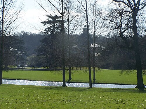
- Mereworth Castle6 km · England
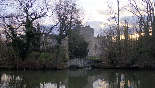
- Allington Castle6 km · England
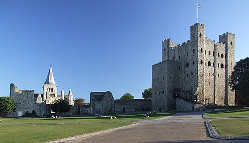
- Rochester Castle11 km · England
- Upnor Castle14 km · England
More castles in England
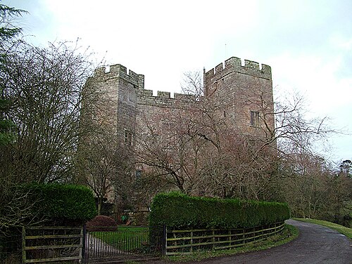
- Dacre CastleEngland · 14th century
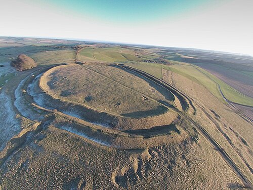
- Barbury CastleEngland · 6th century BC
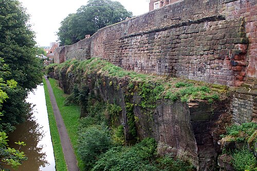
- Chester city wallsEngland · 1st century
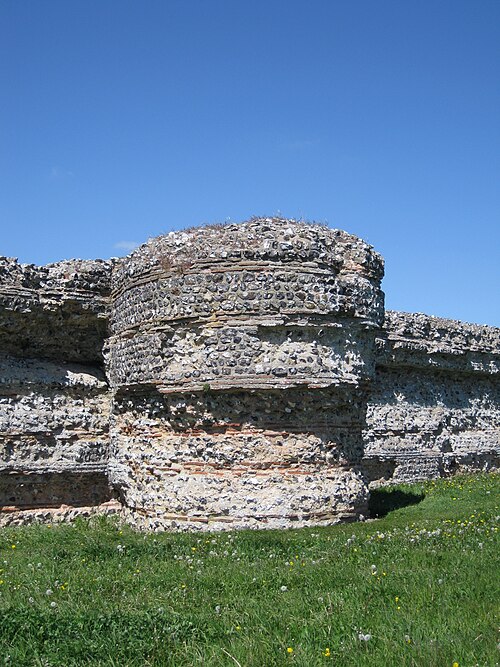
- Burgh Castle Roman FortEngland · 3rd century