Ruin
Crichton Castle
 Scotland · 14th century
- Founded
- c. 1375
- Heritage status
- scheduled monument
- Location
- Midlothian
- Coordinates
- 55.83957°, -2.99142°
- Open data
- Wikidata Q2576658
- Links
- Wikimedia Commons
Description
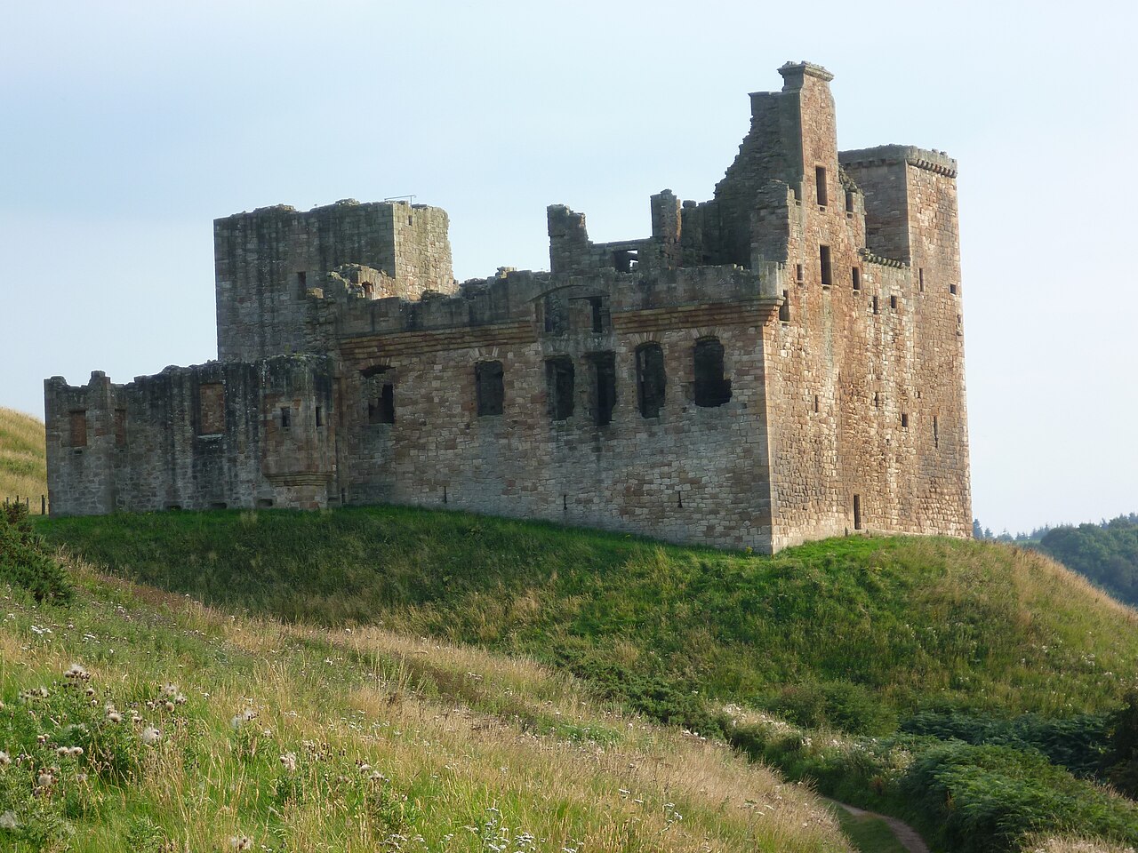
Crichton Castle is a ruined castle near the village of Crichton in Midlothian, Scotland. It is situated at the head of the River Tyne, 2 miles (3.2 km) south of the village of Pathhead, and the same distance east of Gorebridge.
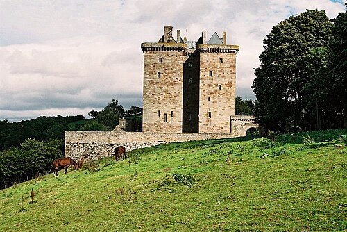
Constructed as a tower house in the late 14th century, it was expanded as the power of the Crichton family grew. However, the Crichtons fell from favour in the later 15th century, and the castle passed to the Earls of Bothwell. Francis Stewart, 5th Earl of Bothwell, constructed the Italianate north range in the 1580s, featuring an elaborate diamond-patterned facade. After Bothwell was accused of witchcraft the castle fell into neglect. The ruins are now in the care of Historic Environment Scotland, and are open to the public. A mile to the south-west is Borthwick Castle, a 15th-century tower house that is still in use.
Text adapted from “Crichton Castle” on Wikipedia, CC BY-SA 4.0.
In the rankings
Crichton Castle ranks #3,657 of 9,902 worldwide in the atlas's castle fame ranking, and #133 of the 252 mapped in Scotland. Founded c. 1375, it is older than 53% of the atlas's dated landmarks, one of 797 atlas entries founded in the 14th century. Its Wikipedia articles were opened 1,324 times in the last 60 days, more than 63% of the atlas. 15 more atlas landmarks stand within 25 km. The nearest day-trip guide is Edinburgh, 18 km away. See how Scotland compares in the castle statistics.
Castles nearby
- Borthwick Castle2 km · Scotland
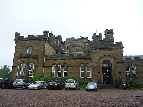
- Oxenfoord Castle4 km · Scotland
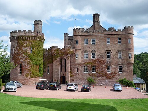
- Dalhousie Castle6 km · Scotland
- Dalkeith Palace8 km · Scotland
More castles in Scotland
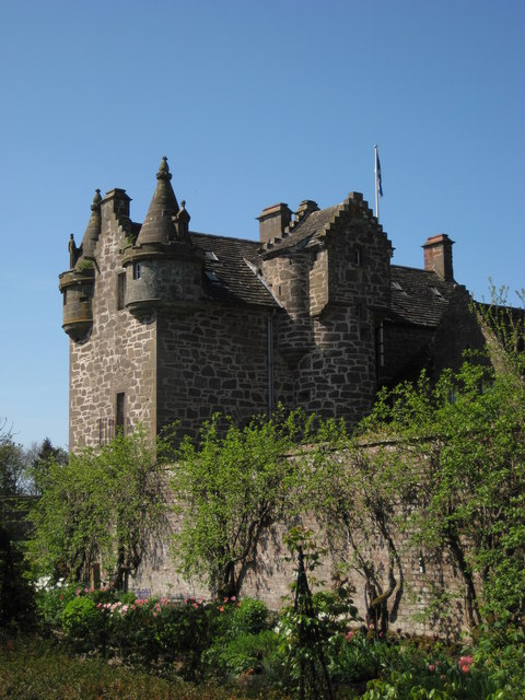
- Gardyne CastleScotland · 16th century
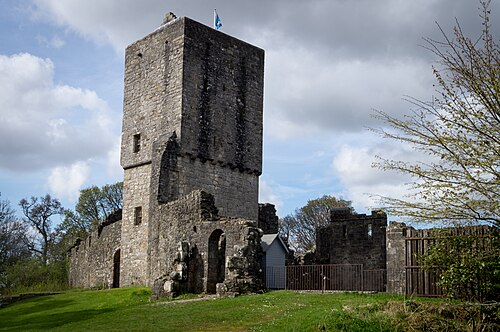
- Mugdock CastleScotland · 14th century
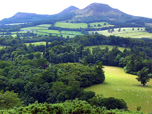
- TrimontiumScotland · 1st century
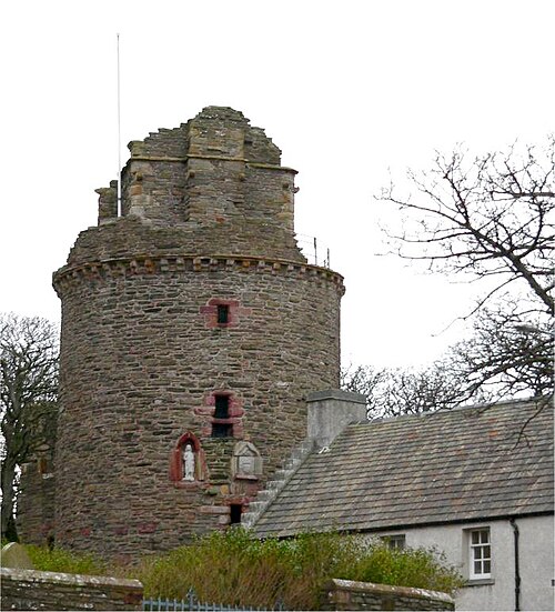
- Bishop's Palace, KirkwallScotland · 12th century