Ruin
Danebury Hill Camp
 England · 6th century BC
- Founded
- 550 BC
- Heritage status
- scheduled monument
- Location
- Nether Wallop
- Coordinates
- 51.1368°, -1.5397°
- Open data
- Wikidata Q677333
- Links
- OpenStreetMap · Wikimedia Commons
Description
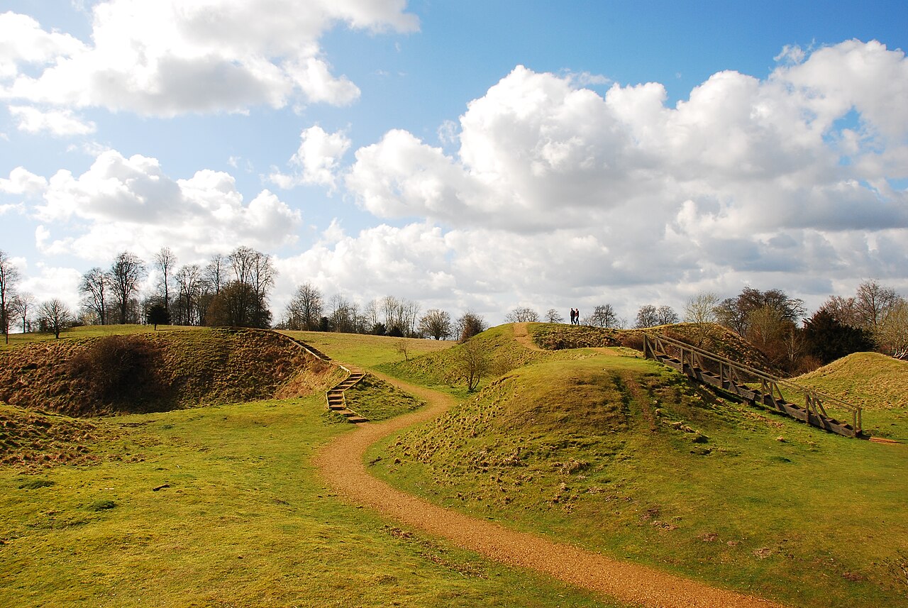
Danebury is an Iron Age hillfort in Hampshire, England, about 19 kilometres (12 mi) north-west of Winchester (grid reference SU323376). The site, covering 5 hectares (12 acres), was excavated by Barry Cunliffe in the 1970s. Danebury is considered a type site for hillforts, and was important in developing the understanding of hillforts, as very few others have been so intensively excavated.
Built in the 6th century BC, the fort was used for almost 500 years, during a period when the number of hillforts in Wessex greatly increased. Danebury was remodelled several times, making it more complex and resulting in it becoming a "developed" hillfort. It is a Scheduled Monument and a Local Nature Reserve called Danebury Hillfort. The Scheduled Monument is surrounded by a Site of Special Scientific Interest, designated as Danebury Hill.
Text adapted from “Danebury” on Wikipedia, CC BY-SA 4.0.
In the rankings
Danebury Hill Camp ranks #3,314 of 9,902 worldwide in the atlas's castle fame ranking, and #251 of the 397 mapped in England. Founded 550 BC, it is older than 99% of the atlas's dated landmarks, one of 10 atlas entries founded in the 6th century BC. Its Wikipedia articles were opened 1,291 times in the last 60 days, more than 63% of the atlas. 7 more atlas landmarks stand within 25 km. The nearest day-trip guide is Southampton, 27 km away. See how England compares in the castle statistics.
Castles nearby
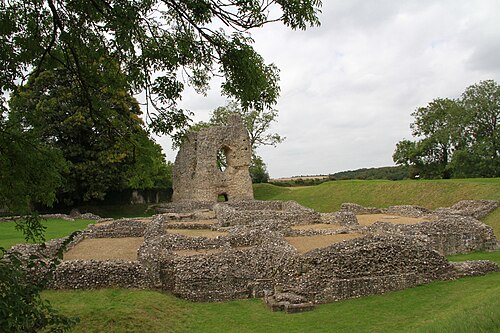
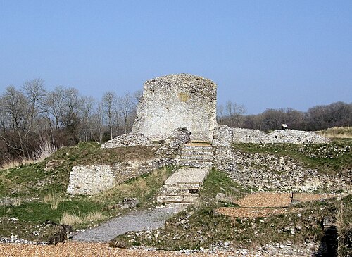
- Ludgershall Castle15 km · England
- Clarendon Palace16 km · England
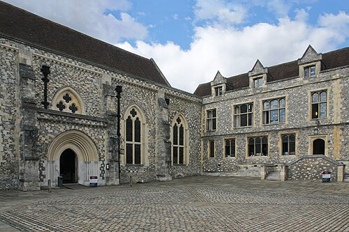
- Winchester Castle17 km · England
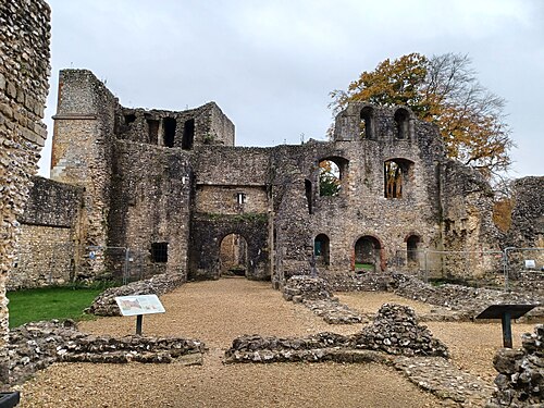
- Wolvesey Castle18 km · England
More castles in England
- VindobalaEngland
- Mereworth CastleEngland · 18th century
- Addington PalaceEngland · 18th century
- Thurland CastleEngland · 14th century