 England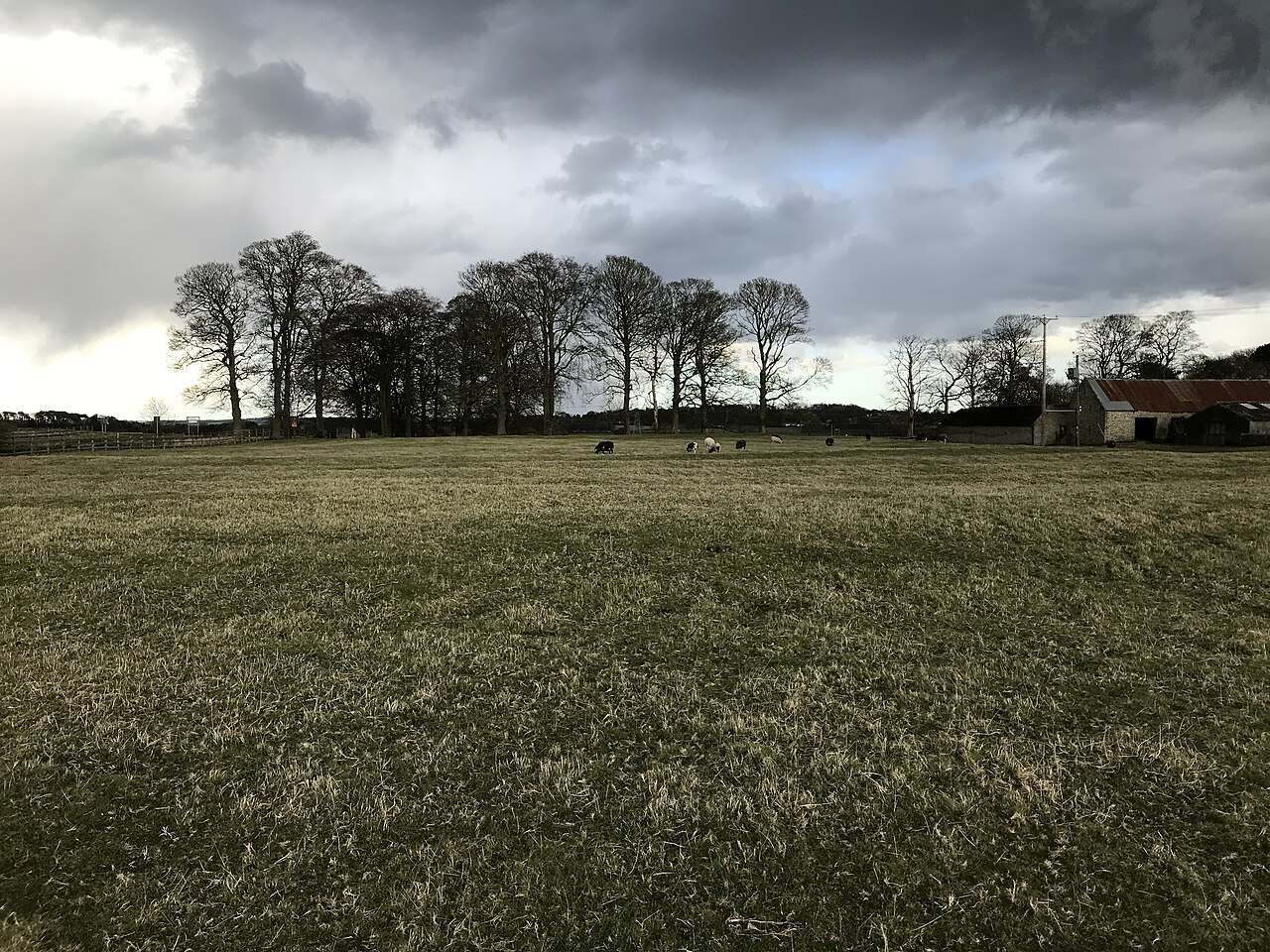
Vindobala (Brytonnic Celtic : windo- fair, white, bala place, situation?, cf. Old Irish bal, bail place, situation, condition, good luck) was a Roman fort with the modern name, and in the hamlet of, Rudchester, Northumberland. It was the fourth fort on Hadrian's Wall, and situated about 11 kilometres (6.8 mi) to the west of Condercum (Benwell) fort and 7.5 miles east of Halton Chesters fort. The site of the fort is bisected by the B6318 Military Road, which runs along the route of the wall at that point.
Text adapted from “Vindobala” on Wikipedia, CC BY-SA 4.0.
Vindobala ranks #5,166 of 9,079 worldwide in the atlas's castle fame ranking, and #318 of the 360 mapped in England. 16 more atlas landmarks stand within 25 km. The nearest day-trip guide is Newcastle upon Tyne, 14 km away. See how England compares in the castle statistics.
View on the interactive castle map →