 England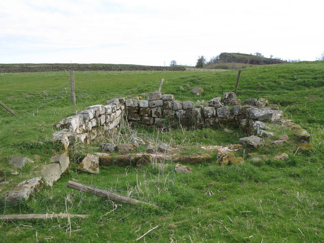
Magnis or Magna was a Roman fort near Hadrian's Wall in northern Britain. Its ruins are now known as Carvoran Roman Fort and are located near Carvoran, Northumberland, in northern England. It was built on the Stanegate frontier and Roman road, linking Coria (Corbridge) in the east to Luguvalium (Carlisle) in the west, before the building of Hadrian's Wall. The fort is now the site of the Roman Army Museum.
Text adapted from “Magnis (Carvoran)” on Wikipedia, CC BY-SA 4.0.
Magna Roman Fort ranks #3,992 of 9,079 worldwide in the atlas's castle fame ranking, and #269 of the 360 mapped in England. 15 more atlas landmarks stand within 25 km. The nearest day-trip guide is Newcastle upon Tyne, 58 km away. See how England compares in the castle statistics.
View on the interactive castle map →