 India
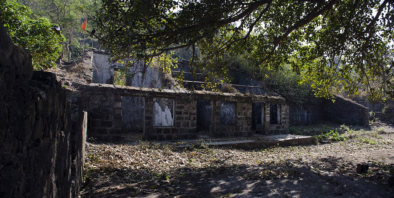
The Dongri Fort, or the Dongri Hill Fort, locally known as the Janjire Dhavari Fort, is a fort in Mumbai, India. It is located in the Dongri area. It came under Maratha rule in 1739. Since then, the locals and the church have been looking after the maintenance of the fort, which was once repaired. Every year, during the month of October, the feast of Our Lady of Fatima is celebrated there. Many people from far-off villages come to offer their prayers there. One can take a 360-degree view of the surroundings from this fort, with the Arabian Sea to the west, the Vasai Fort to the north, the Sanjay Gandhi National Park to the east, and the Essel World and Water Kingdom to the south.
Text adapted from “Dongri Fort” on Wikipedia, CC BY-SA 4.0.
Dongri Fort ranks #3,890 of 9,035 worldwide in the atlas's castle fame ranking, and #148 of the 223 mapped in India. 4 more atlas landmarks stand within 25 km. The nearest day-trip guide is Vasai-Virar, 18 km away. See how India compares in the castle statistics.
View on the interactive castle map →