 Scotland · 6th century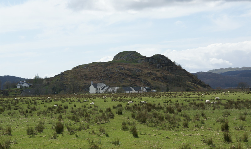
Dunadd (Scottish Gaelic Dún Ad, "fort on the [River] Add", Old Irish Dún Att) is a hillfort in Argyll and Bute, Scotland, dating from the Iron Age and early medieval period and is believed to be the capital of the ancient kingdom of Dál Riata. Dal Riata was a Gaelic kingdom spanning the northern Irish coast to Argyll and the Scottish islands in the early centuries AD, possibly after the Romans had abandoned Southern Britain and at the time when the Anglo-Saxons were crossing the North Sea to counter incursions over Hadrian's Wall by the Picts and Dalriadan Scots.
Text adapted from “Dunadd” on Wikipedia, CC BY-SA 4.0.
Dunadd ranks #1,281 of 9,079 worldwide in the atlas's castle fame ranking, and #43 of the 226 mapped in Scotland. Founded c. 600, it is older than 96% of the atlas's dated landmarks — one of 39 atlas entries founded in the 6th century. Its Wikipedia articles were opened 3,437 times in the last 60 days, more than 80% of the atlas. 3 more atlas landmarks stand within 25 km. The nearest day-trip guide is Glasgow, 80 km away. See how Scotland compares in the castle statistics.
View on the interactive castle map →