 Northern Ireland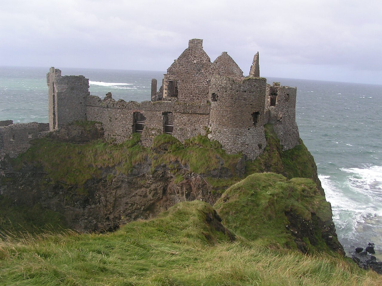
Dunluce Castle (from Irish Dún Libhse) is a now-ruined medieval castle in Northern Ireland, the seat of Clan MacQuillan. It is located on the edge of a basalt outcropping in County Antrim (between Portballintrae and Portrush), and is accessible via a bridge connecting it to the mainland. The castle is surrounded by extremely steep drops on either side, which may have been an important factor to the early Christians and Vikings who were drawn to this place where an early Irish fort once stood.
Text adapted from “Dunluce Castle” on Wikipedia, CC BY-SA 4.0.
Dunluce Castle ranks #609 of 9,079 worldwide in the atlas's castle fame ranking, and #2 of the 39 mapped in Northern Ireland. Its Wikipedia articles were opened 13,591 times in the last 60 days, more than 96% of the atlas. 2 more atlas landmarks stand within 25 km. The nearest day-trip guide is Derry, 54 km away. See how Northern Ireland compares in the castle statistics.
View on the interactive castle map →