Fortress
Ehrenbreitstein Fortress
 Germany · 19th century
- Founded
- 1828
- Heritage status
- cultural heritage monument in Rhineland-Palatinate
- Location
- Koblenz
- Coordinates
- 50.365°, 7.61528°
- Open data
- Wikidata Q50712
- Links
- Wikimedia Commons
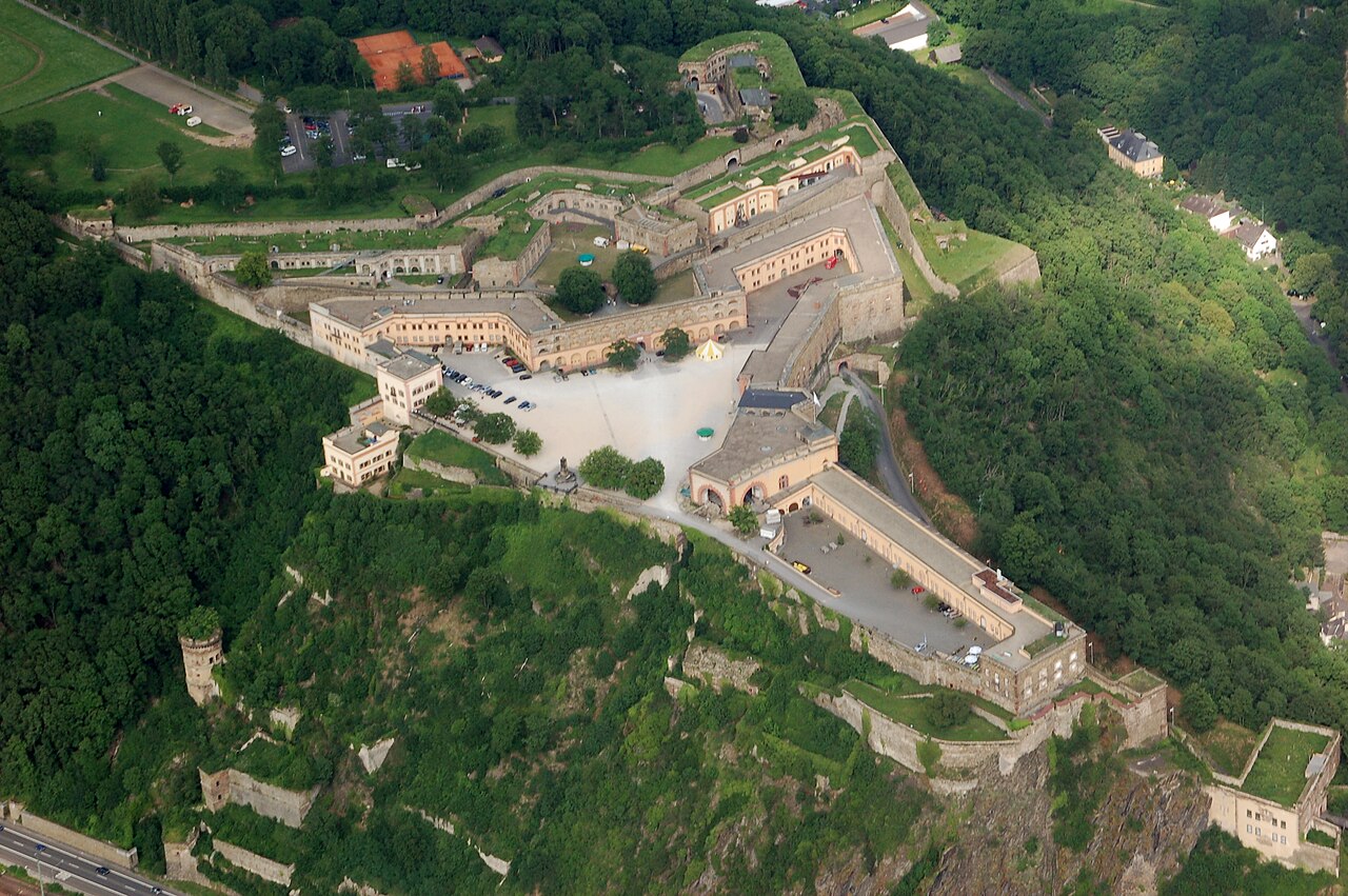
Description
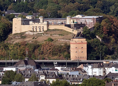
Ehrenbreitstein Fortress (German: Festung Ehrenbreitstein, pronounced [ˌfɛstʊŋ eːʁənˈbʁaɪtʃtaɪn]), a fortress in the German state of Rhineland-Palatinate, stands on the east bank of the Rhine opposite the mouth of the Moselle, and overlooks the city of Koblenz.
Occupying the position of an earlier fortress destroyed by the French in 1801, it was built as the backbone of the regional fortification system, Festung Koblenz, by Prussia between 1817 and 1828 and guarded the middle Rhine region, an area which French troops had repeatedly invaded before. The Prussian fortress was never attacked.
Since 2002, Ehrenbreitstein has formed part of the UNESCO World Heritage Site Upper Middle Rhine Valley.
Text adapted from “Ehrenbreitstein Fortress” on Wikipedia, CC BY-SA 4.0.
In the rankings
Ehrenbreitstein Fortress ranks #338 of 9,902 worldwide in the atlas's castle fame ranking, and #30 of the 927 mapped in Germany. Founded 1828, it is older than 10% of the atlas's dated landmarks, one of 782 atlas entries founded in the 19th century. Its Wikipedia articles were opened 17,581 times in the last 60 days, more than 97% of the atlas. 31 more atlas landmarks stand within 25 km. The nearest day-trip guide is Koblenz, 1 km away. It is one of the 43 landmarks on the atlas's regional map of the Middle Rhine. It is stop 30 of 34 on the Rhine castle route, Bingen to Koblenz. See how Germany compares in the castle statistics.
Castles nearby
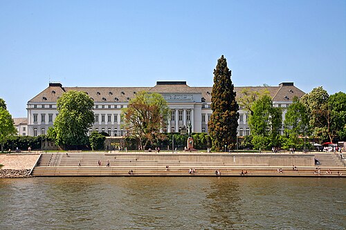
- Electoral Palace Koblenz1 km · Germany
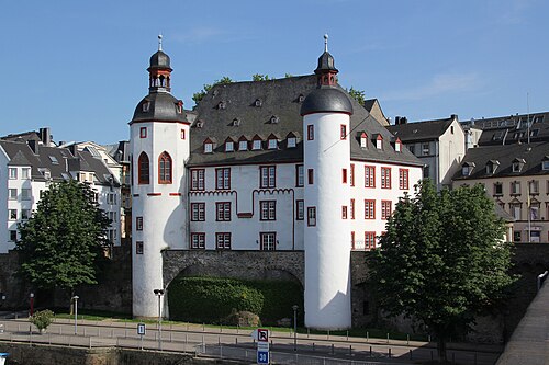
- Old Castle (Koblenz)2 km · Germany
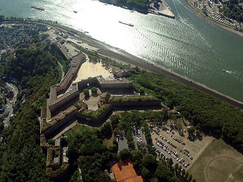
- Koblenz Fortress2 km · Germany
- Fort Constantin3 km · Germany
More castles in Germany
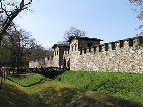
- Limes GermanicusGermany · 1st century
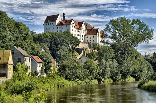
- Colditz CastleGermany · 12th century
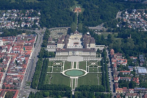
- Ludwigsburg PalaceGermany · 18th century
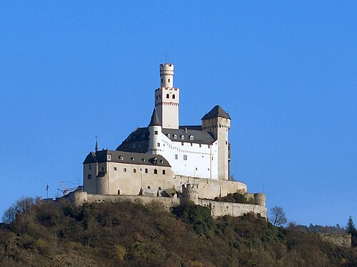
- MarksburgGermany · 12th century