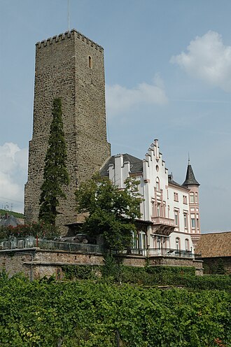
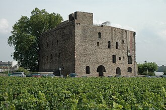
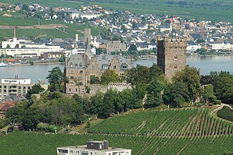
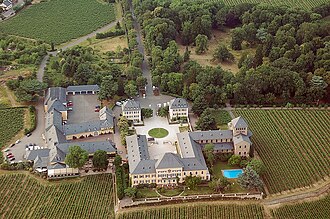
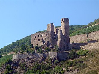
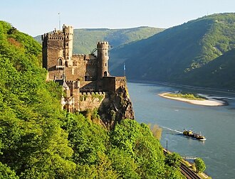
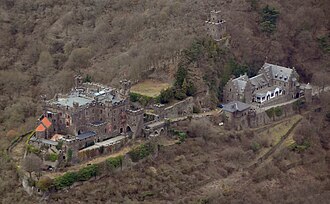
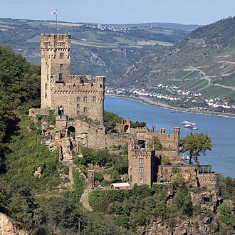
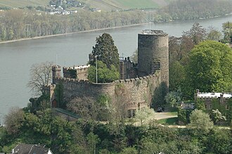
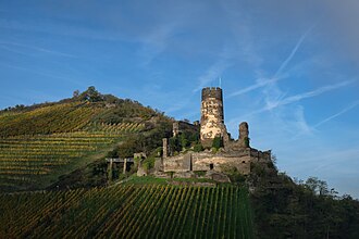
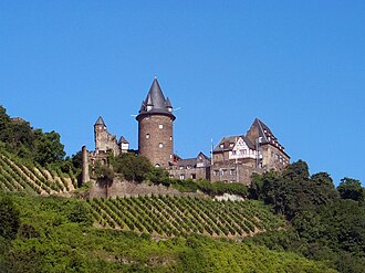
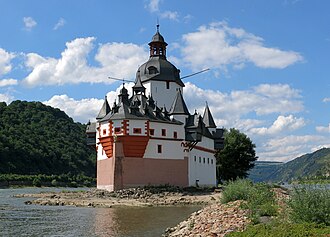
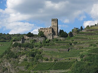
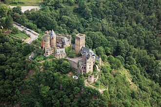
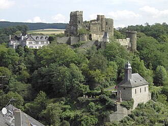
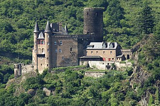
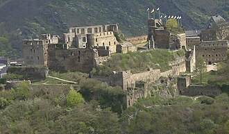
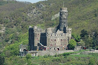
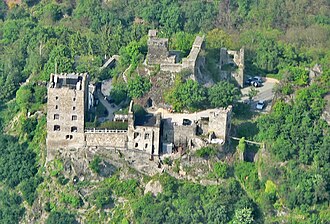
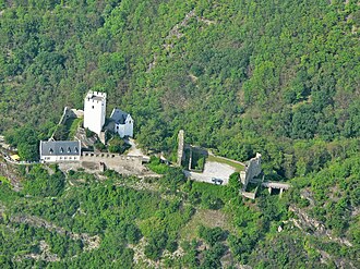
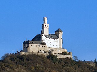
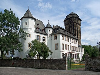
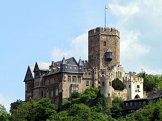
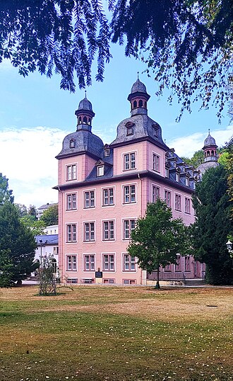
The stretch of the Rhine between Bingen and Koblenz carries one of the densest sets of castles anywhere, some forty of them, and they are there for one reason: the river was a toll road. Every lord whose land touched the water built a tower to stop boats and charge them, until the Rhine towns banded together in 1254 against the robber barons who ran the worst of them. The gorge has been a UNESCO World Heritage Site since 2002.
What this atlas maps on the Rhine castle route
That is every atlas landmark within 9 km of the line, spanning 11th century to 19th century. Nobody picked them: the geography did.
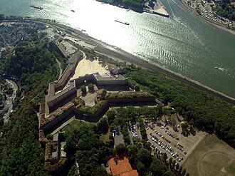
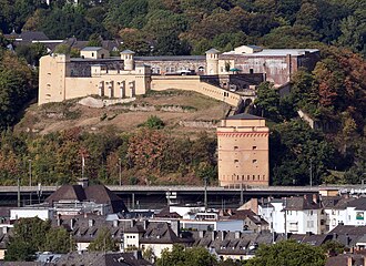
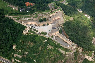
The best known is Ehrenbreitstein Fortress, ranked 289 of the 9,035 landmarks in the atlas by Wikipedia presence and real readership. The oldest is Reichenstein Castle (Trechtingshausen), founded 1100.
The route runs through Germany. The same ground, without the itinerary: Castles on the Middle Rhine.
Travelling it
The castles sit on both banks, so the route is really two roads and a set of car ferries; the B9 runs the left bank, the B42 the right, and the regional trains on either side stop at almost every village below a castle.
Day-trip guides for the towns and cities along it: Wiesbaden · Koblenz.
See the route on the map →