Fortress
Fort de l'Îlette de Kermorvan
 France · 19th century
- Founded
- 1847
- Location
- Le Conquet
- Coordinates
- 48.36925°, -4.78718°
- Open data
- Wikidata Q2739686
Description
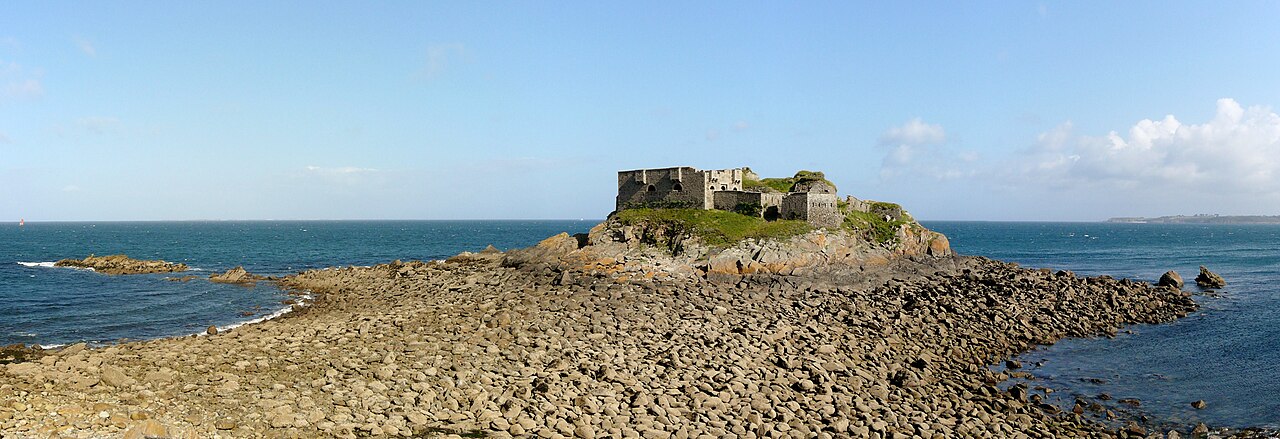
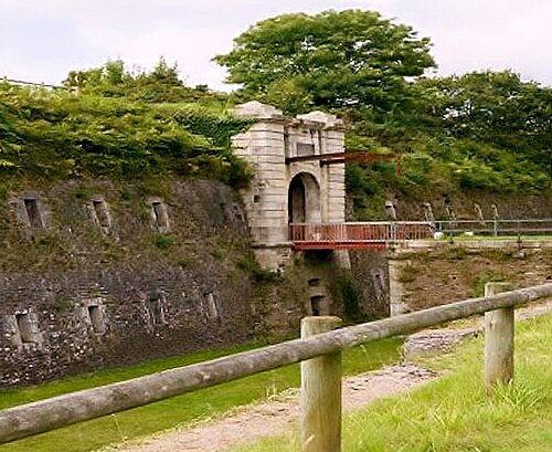
The Fort de l'Îlette de Kermorvan is a fortification built under Napoleon III, on an islet north of the Kermorvan peninsula, in the French commune of Le Conquet (Finistère).
Associated with two coastal batteries, this fortification, known as the upper coastal battery, protected the northern part of the peninsula, at the tip of which are two other coastal batteries with a redoubt (lower coastal battery). It protects the anchorage of the Blancs-Sablons beach to the west.
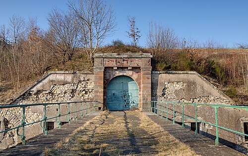
The Îlette batteries consist of two platforms staggered in height and linked by a tunnel; they held 8 guns arranged in a barbette battery. The redoubt is a crenellated guardhouse, no. 2, model 1846, with 2 bretèches on each side, modified for 30 men. The date 1847 appears above the entrance.
Decommissioned in 1889, the structure is still in good condition. Privately owned, it is accessible at low tide via the coastal path of the peninsula.
Machine-translated from “Fort de l'Îlette de Kermorvan” on the French Wikipedia, CC BY-SA 4.0.
In the rankings
Fort de l'Îlette de Kermorvan ranks #6,666 of 9,040 worldwide in the atlas's castle fame ranking, and #603 of the 787 mapped in France. Founded 1847, it is older than 8% of the atlas's dated landmarks, one of 705 atlas entries founded in the 19th century. 6 more atlas landmarks stand within 25 km. The nearest day-trip guide is Brest (France), 22 km away. See how France compares in the castle statistics.
Castles nearby
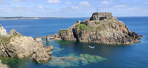
- Fort de Bertheaume8 km · France
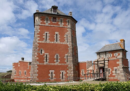
- Tour Vauban (Camaret-sur-Mer)18 km · France
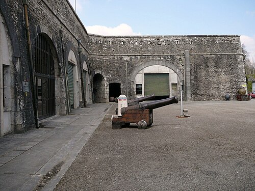
- Fort Montbarey18 km · France
- Questel Fort19 km · France
More castles in France
- Fort de la PompelleFrance · 19th century
- Fort des TêtesFrance · 18th century
- Fort du Mont BartFrance · 19th century
- Fort du SalbertFrance · 19th century