Fortress
Fort Eben-Emael
 Belgium · 20th century
- Founded
- 1932
- Location
- Bassenge
- Coordinates
- 50.79722°, 5.68083°
- Open data
- Wikidata Q947912
- Links
- OpenStreetMap · Wikimedia Commons · Plan

Description
Fort Eben-Emael (French: Fort d'Ében-Émael, pronounced [fɔʁ debɛn emal]) is an inactive Belgian fortress located between Liège and Maastricht, on the Belgian-Dutch border, near the Albert Canal, outside the village of Ében-Émael. It was designed to defend Belgium from a German attack across the narrow belt of Dutch territory in the region. Constructed in 1931–1935, it was reputed to be impregnable and, at the time, the largest in the world.
The fort was neutralized by glider-borne German troops (85 men) on 10–11 May 1940 during the Second World War. This was the first strategic airborne operation using paratroopers ever attempted in military history. The action cleared the way for German ground forces to enter Belgium, unhindered by fire from Eben-Emael. While still the property of the Belgian Army, the fort has been preserved as a museum and may be visited.
Text adapted from “Fort Ében-Émael” on Wikipedia, CC BY-SA 4.0.
In the rankings
Fort Eben-Emael ranks #289 of 9,902 worldwide in the atlas's castle fame ranking, and #2 of the 140 mapped in Belgium. Founded 1932, one of 175 atlas entries founded in the 20th century. Its Wikipedia articles were opened 14,446 times in the last 60 days, more than 96% of the atlas. 52 more atlas landmarks stand within 25 km. The nearest day-trip guide is Liège, 19 km away. See how Belgium compares in the castle statistics.
Castles nearby
- Castle Oost
 2 km · Netherlands
- Château Neercanne3 km · Netherlands
- Eijsden Castle3 km · Netherlands
- Castle Lichtenberg3 km · Netherlands
More castles in Belgium
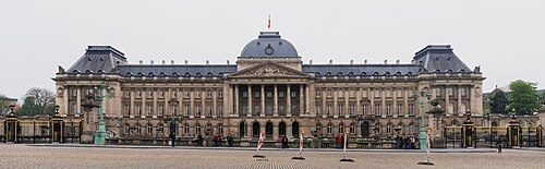
- Royal Palace of BrusselsBelgium · 19th century
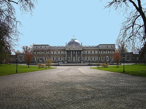
- Royal Castle of LaekenBelgium · 18th century
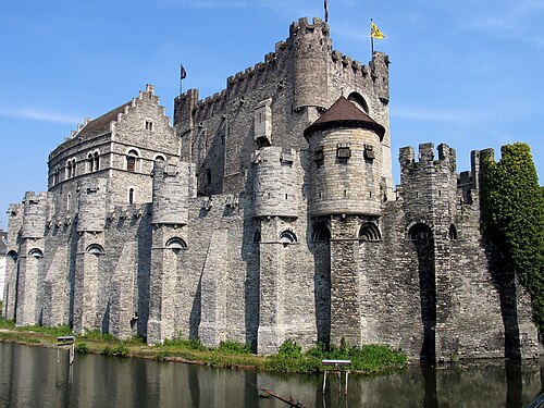
- GravensteenBelgium · 12th century
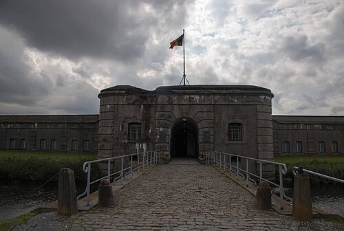
- Fort BreendonkBelgium · 20th century