Fortress
Fort Laramie
🇺🇸 United States · 19th century
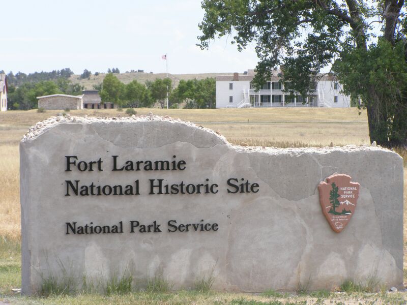
Fort Laramie is a former trading post and later army fort at the confluence of the Laramie River and the North Platte River in the south-east of the US state of Wyoming, near the town of Fort Laramie. The name goes back to a French trapper named Jacques La Ramee.
Machine-translated from “Fort Laramie” on the German Wikipedia, CC BY-SA 4.0.
Fort Laramie ranks #3,119 of 8,134 worldwide in the atlas's castle fame ranking, and #61 of the 103 mapped in United States. Founded 1849, it is older than 9% of the atlas's dated landmarks — one of 607 atlas entries founded in the 19th century. Its Wikipedia articles were opened 2,718 times in the last 60 days, more than 73% of the atlas. See how United States compares in the castle statistics.
View on the interactive castle map →Frequently asked questions
Where is Fort Laramie?
Fort Laramie stands in the United States, at 42.2092°, -104.536°.
When was Fort Laramie built?
The atlas dates its founding to 1849. Earlier structures may have stood on the site; this is the earliest documented founding year.
How famous is Fort Laramie?
In this atlas's fame ranking: #3,119 of 8,134 worldwide, and #61 in the United States. Fame here combines how many Wikipedia language editions cover a landmark with how many people read them.
What is the nearest castle to Fort Laramie?
Fort Robinson, about 102 km away.
More castles in the United States
- Fort Warren United States · 19th century
- Sutter's Fort United States · 19th century
- Fort Bridger United States · 19th century
- Fort Kearny United States · 19th century
More fortresses
- Fort Regent Jersey · 19th century
- Kondapalli Fort India · 14th century
- Dún Dúchathair Ireland
- Fort Rodd Hill National Historic Site Canada · 19th century