 United States · 19th century
Fort Warren ranks #2,979 of 9,040 worldwide in the atlas's castle fame ranking, and #59 of the 110 mapped in United States. Founded 1833, it is older than 10% of the atlas's dated landmarks, one of 705 atlas entries founded in the 19th century. Its Wikipedia articles were opened 2,817 times in the last 60 days, more than 77% of the atlas. 2 more atlas landmarks stand within 25 km. The nearest day-trip guide is Cambridge (United States), 16 km away. See how United States compares in the castle statistics.
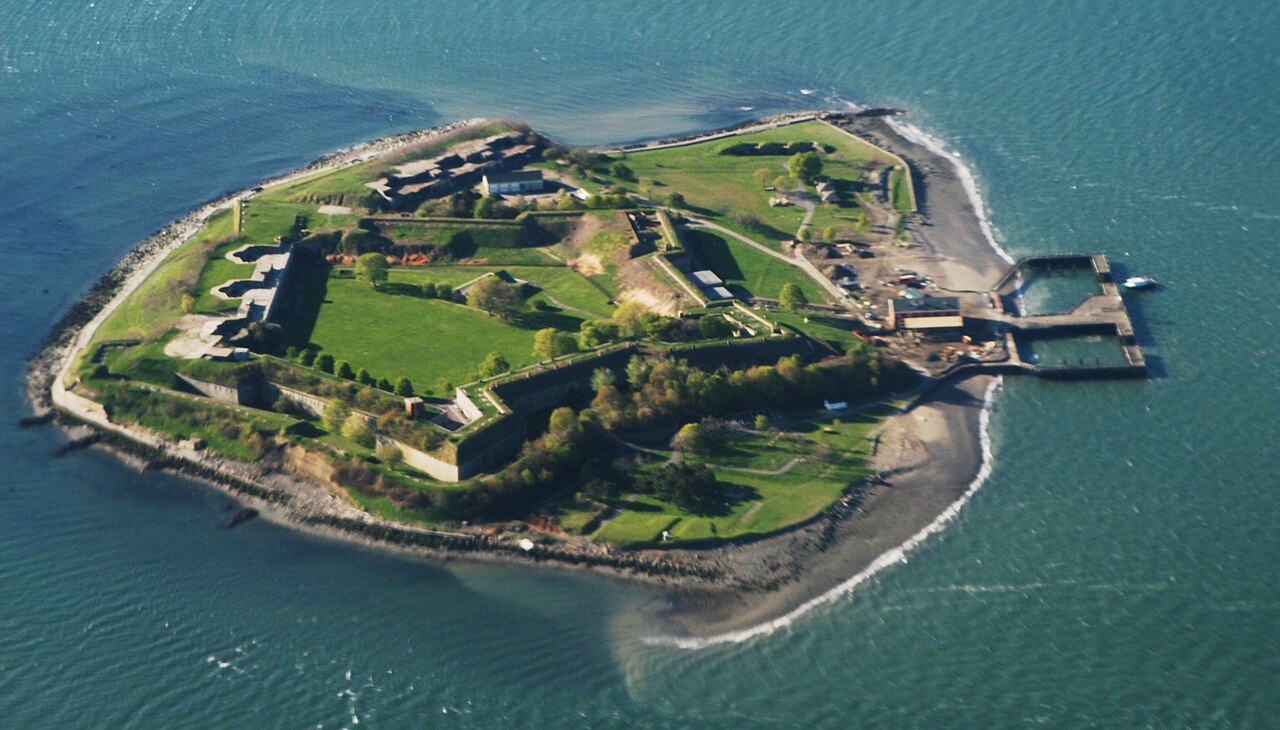
Fort Warren is a historic fort on the 28-acre (110,000 m2) Georges Island at the entrance to Boston Harbor. The fort is named for Revolutionary War hero Dr. Joseph Warren, who sent Paul Revere on his famous ride, and was later killed at the Battle of Bunker Hill. The name was transferred in 1833 from the first Fort Warren – built in 1808 – which was renamed Fort Winthrop.
Fort Warren is a pentagonal bastion fort, made with stone and granite, and was constructed from 1833 to 1861, completed shortly after the beginning of the American Civil War. Fort Warren defended the harbor in Boston, Massachusetts, from 1861 through the end of World War II, and during the Civil War served as a prison for Confederate officers and government officials, including Confederate Vice President Alexander H. Stephens. The fort remained active through the Spanish–American War and World War I, and was re-activated during World War II. It was permanently decommissioned in 1947, and is now a tourist site. It was designated a National Historic Landmark in 1970 as a masterpiece of coastal engineering of the pre-Civil War period, and for its role in the Civil War.
Text adapted from “Fort Warren (Massachusetts)” on Wikipedia, CC BY-SA 4.0.
View on the interactive castle map →