 United States · 19th century
Fort McClary ranks #4,422 of 9,040 worldwide in the atlas's castle fame ranking, and #85 of the 110 mapped in United States. Founded 1808, it is older than 11% of the atlas's dated landmarks, one of 705 atlas entries founded in the 19th century. Its Wikipedia articles were opened 1,257 times in the last 60 days, more than 57% of the atlas. 1 more atlas landmarks stand within 25 km. The nearest day-trip guide is Cambridge (United States), 85 km away. See how United States compares in the castle statistics.
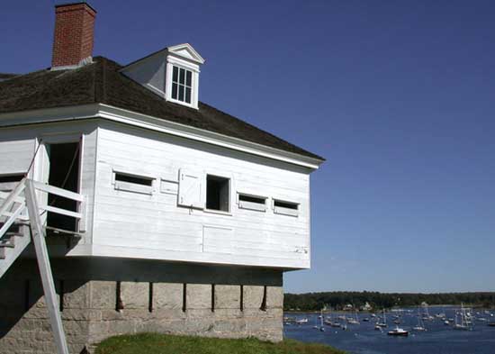
Fort McClary is a former defensive fortification of the United States military located along the southern coast at Kittery Point, Maine at the mouth of the Piscataqua River. It was used throughout the 19th century to protect approaches to the harbor of Portsmouth, New Hampshire and the Portsmouth Naval Shipyard in Kittery. The property and its surviving structures are now owned and operated by the State of Maine as Fort McClary State Historic Site, including a blockhouse dating from 1844.
Text adapted from “Fort McClary” on Wikipedia, CC BY-SA 4.0.
View on the interactive castle map →