Ruin
Fort William and Mary
 United States · 17th century
- Founded
- 1632
- Heritage status
- National Register of Historic Places listed place
- Location
- New Castle
- Coordinates
- 43.07132°, -70.71021°
- Open data
- Wikidata Q1438485
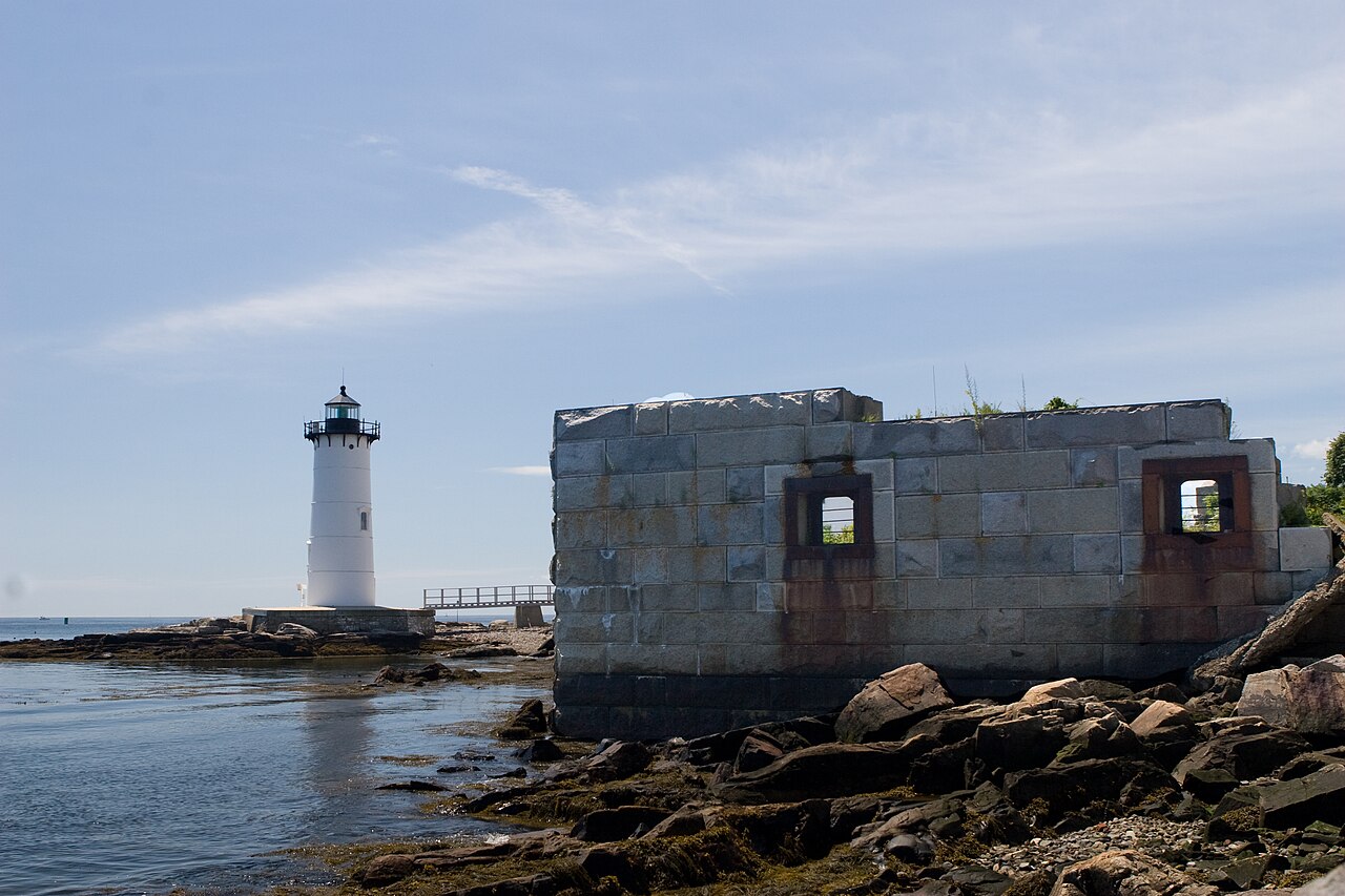
Description
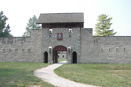
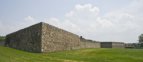
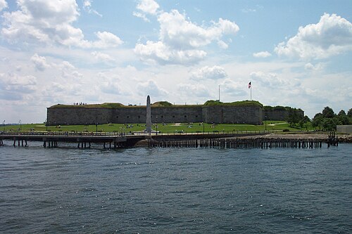
Fort William and Mary was a colonial-era British fortress on the island of New Castle, at the mouth of the Piscataqua River in the Province of New Hampshire. Originally known as "The Castle," it was renamed Fort William and Mary circa 1692, after the accession of William III and Mary II to the British throne. During the American Revolutionary War (1775–1783) it was captured by rebel forces, recaptured, and later abandoned by the British. Following an 1808 rebuilding in response to increasing British hostilities, it was renamed Fort Constitution and served in the War of 1812. Another rebuilding and expansion was carried out in the wake of the Spanish-American War in 1899. The fort served actively through the first half of the 20th century and World War II.
Fort Constitution was given to the State of New Hampshire by the American military in 1961 and converted into a state park. Listed on the National Register of Historic Places in 1973, it is open to the public.
Text adapted from “Fort William and Mary” on Wikipedia, CC BY-SA 4.0.
In the rankings
Fort William and Mary ranks #4,996 of 9,040 worldwide in the atlas's castle fame ranking, and #95 of the 110 mapped in United States. Founded 1632, it is older than 28% of the atlas's dated landmarks, one of 710 atlas entries founded in the 17th century. Its Wikipedia articles were opened 1,495 times in the last 60 days, more than 62% of the atlas. 1 more atlas landmarks stand within 25 km. The nearest day-trip guide is Cambridge (United States), 84 km away. See how United States compares in the castle statistics.
Castles nearby
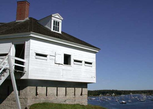
- Fort McClary1 km · United States
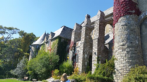
- Hammond Castle54 km · United States
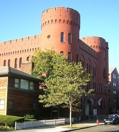
- Lynn Armory70 km · United States
- Fort Independence85 km · United States
More castles in the United States
- Fort de ChartresUnited States · 18th century
- Fort Wayne, DetroitUnited States · 19th century
- Fort DelawareUnited States · 19th century
- Fort FrederickUnited States · 18th century