


 Castles near Cambridge (United States)
7 castles, fortresses, palaces and ruins within 100 km of the city centre: every one on the interactive map, with photos, distances and directions.
- Within 100 km
- 7 landmarks
- By type
- 5 fortresses · 1 palace & château · 1 ruin
- Closest
- Fort Independence · 9 km
- Most famous
- Fort Independence · #1,641
- Oldest
- Fort William and Mary · 1632
- City
- 118,403 residents
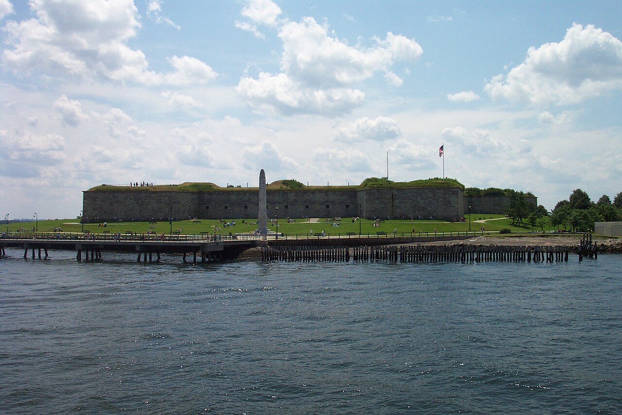
The closest landmark is also the most famous: Fort Independence, ranked #1,641 of 9,040 worldwide, 9 km south-east of the city centre. The oldest dated site in the circle is Fort William and Mary, founded 1632.
Every one of them stands in United States: the country page shows the full national picture.
Within 25 km of Cambridge (United States)
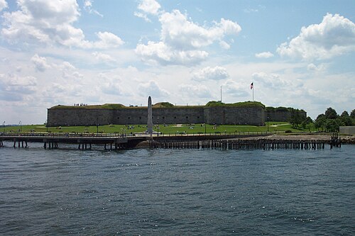
- Fort Independence9 km south-east · Fortress
Fort Independence is a granite bastion fort that provided harbor defenses for Boston, Massachusetts, located on Castle Island.
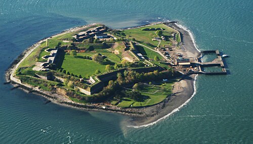
- Fort Warren16 km east · Fortress
Fort Warren is a historic fort on the 28-acre Georges Island at the entrance to Boston Harbor.
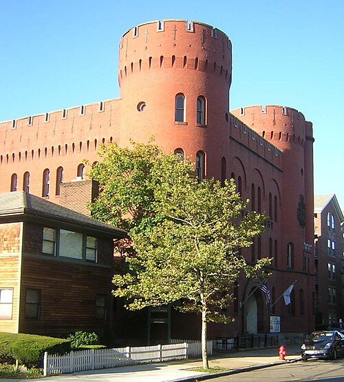
- Lynn Armory16 km north-east · Fortress
The Lynn Armory is a historic armory building at 36 South Common Street in Lynn, Massachusetts.
Day trips: 25–60 km
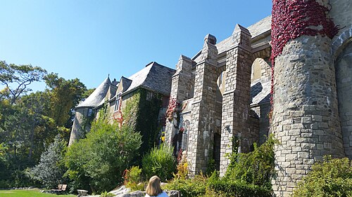
- Hammond Castle41 km north-east · Palace & château
Hammond Castle is located on the Atlantic coast in the Magnolia area of Gloucester, Massachusetts.
Farther afield: 60–100 km
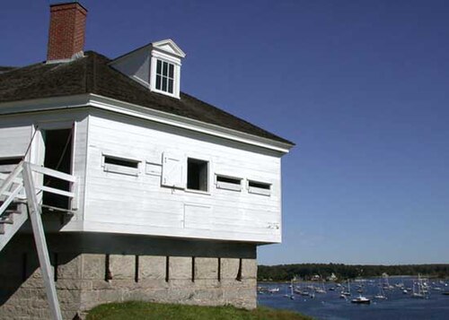
- Fort McClary85 km north · Fortress
Fort McClary is a former defensive fortification of the United States military located along the southern coast at Kittery Point, Maine at the mouth…
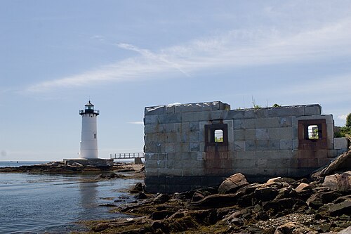
- Fort William and Mary84 km north-east · Ruin
Fort William and Mary was a colonial-era British fortress on the island of New Castle, at the mouth of the Piscataqua River in the Province of New…
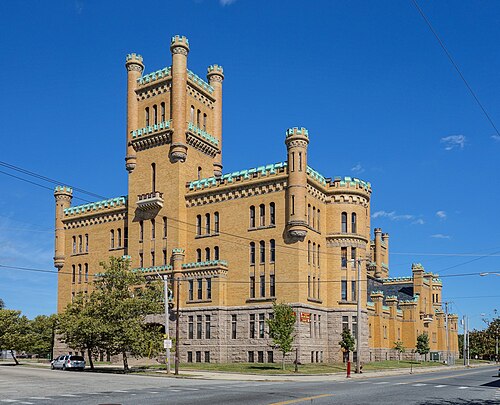
- Cranston Street Armory68 km south-west · Fortress
The Cranston Street Armory is an historic building in the Broadway–Armory Historic District of Providence, Rhode Island.

Distances are straight-line from the city centre. City coordinates and population: Wikidata Q49111.
Frequently asked questions
How many castles are near Cambridge (United States)?
The Castle Map atlas maps 7 landmarks (5 fortresses · 1 palace & château · 1 ruin) within 100 km of the centre of Cambridge (United States), measured straight-line: a curated selection of well-documented landmarks, not a count of every fortification ever built.
What is the closest castle to Cambridge (United States)?
Fort Independence, a fortress 9 km south-east of the city centre.
What is the oldest castle near Cambridge (United States)?
The oldest dated landmark in the circle is Fort William and Mary, founded 1632: 84 km north-east. Earlier structures may have existed; this is the oldest with a documented founding year.
See also medieval castles · all rankings · castles by country.