 France · 19th century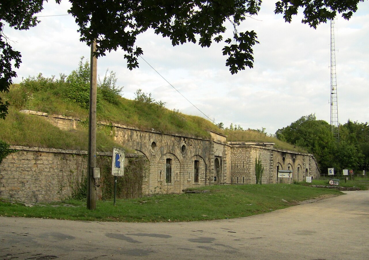
The fort of Planoise is a fortification located on the summit of the hill of Planoise, in Besançon (Franche-Comté, France). Although its location was extremely strategic, the fort was not used during either the first or the second World War.
The monument was built in 1877 to 1882, on the summit of the hill of Planoise (at 490m), to defend the city of Besançon. In the 1930s the fort was abandoned, and in 1949 Emmaus homeless charity rented the Planoise fort for offices.
Text adapted from “Fort of Planoise” on Wikipedia, CC BY-SA 4.0.
Fort of Planoise ranks #5,098 of 9,035 worldwide in the atlas's castle fame ranking, and #444 of the 787 mapped in France. Founded 1877, it is older than 5% of the atlas's dated landmarks, one of 705 atlas entries founded in the 19th century. 1 more atlas landmarks stand within 25 km. The nearest day-trip guide is Besançon, 5 km away. See how France compares in the castle statistics.
View on the interactive castle map →