 United States · 19th century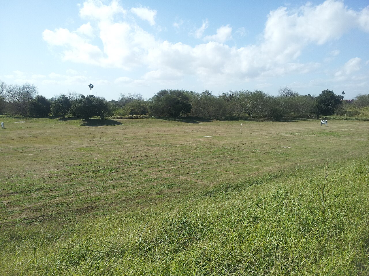
Fort Brown (originally Fort Texas) was a military post of the United States Army in Cameron County, Texas, during the latter half of the 19th century and the early part of the 20th century. Established in 1846, it was the first US Army military outpost of the recently annexed state. Confederate Army troops stationed there saw action during the American Civil War. In the early 20th century, it was garrisoned in relation to military activity over border conflicts with Mexico. Surviving elements of the fort were designated as a National Historic Landmark in 1960.
Text adapted from “Fort Brown” on Wikipedia, CC BY-SA 4.0.
Fort Brown ranks #2,130 of 9,035 worldwide in the atlas's castle fame ranking, and #40 of the 110 mapped in United States. Founded 1846, it is older than 8% of the atlas's dated landmarks, one of 705 atlas entries founded in the 19th century. Its Wikipedia articles were opened 3,448 times in the last 60 days, more than 81% of the atlas. 1 more atlas landmarks stand within 25 km. See how United States compares in the castle statistics.
View on the interactive castle map →