 Algeria · 16th century
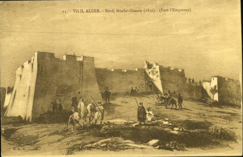
Fort of the Emperor ranks #8,067 of 9,040 worldwide in the atlas's castle fame ranking, and #19 of the 24 mapped in Algeria. Founded 1545, it is older than 39% of the atlas's dated landmarks, one of 887 atlas entries founded in the 16th century. 7 more atlas landmarks stand within 25 km. See how Algeria compares in the castle statistics.
Bordj Moulay Hassan (Arabic: برج مولاي حسن), or Fort of the Emperor, was an Ottoman fortress covering the south of Algiers, situated at the summit of the hill of Soap (Koudia-es-Sebaoun).
This citadel had been built by the Beylerbey after the failed siege of the city by the armies of Charles V (the German emperor, whence the name of the place) in 1541. The fall of the fortress in the first days of July 1830 marked the decisive stage in the capture of Algiers by the French.
The column of the Fort of the Emperor, which served as a landmark for German airmen, was dynamited on 3 February 1943.
Machine-translated from “Fort l'Empereur” on the French Wikipedia, CC BY-SA 4.0.
View on the interactive castle map →