 Netherlands · 19th century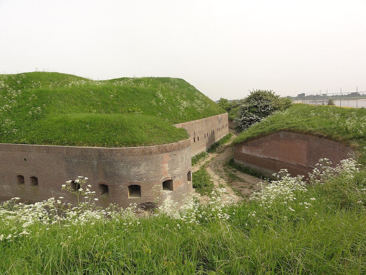
Fort Pannerden is a disused military fort situated near the village of Pannerden in the southeast of the Netherlands. In November 2006, it became the focus of national news stories because a group of squatters were evicted in a large-scale operation by police, helped by the army. Later on in the same month, it was resquatted.
The fort was constructed between 1869 and 1871 to serve as part of the New Dutch Waterline. Originally built completely out of brick and mortar, with just one main battery guarding the Rhine, it was upgraded significantly during 1885–1895. The main battery was completely rebuilt, with armour and concrete, while two additional armoured batteries were added and the roof of the fort was reinforced with concrete. The fort had strategic significance in that it guarded the Pannerden Canal, which supplied the water for the inundations of the New Dutch Waterline and could potentially be used as a route towards the main line of defence, but the fort saw little active service.
In World War I the Netherlands remained neutral, although the fort was manned as part of a general mobilisation. In World War II on May 10, 1940, during the German invasion of the Netherlands, the fort was first bypassed and then surrounded. On May 11, cut off from the rest of the Dutch army, the commander of the fort surrendered under threat of artillery bombardment and air attack. Most of the fort was subsequently stripped of all useful materials and after 1945 the building fell into disuse.
From 1988 onwards, there have been attempts to repair the fort, but during the 1990s those plans fell through and all work was abandoned. On June 12, 2000, the fort was squatted. Working with local residents and Stichting Fort Pannerden (a foundation set up to maintain and promote the fort), the squatters carried out essential repairs and held a monthly open day. The local city council (gemeente Lingewaard) forbade the open days and the owner, Staatsbosbeheer, took the squatters to court, saying it wanted to make a museum there. The owner won the court case. After the squatters refused to leave, they were evicted in a two-day operation by police, riot police and army forces beginning November 7, 2006. Twenty five squatters were removed from inside the building.
On November 25, 2006, the fort was resquatted by a group of between eighty and one hundred squatters.
Text adapted from “Fort Pannerden” on Wikipedia, CC BY-SA 4.0.
Fort Pannerden ranks #4,862 of 9,035 worldwide in the atlas's castle fame ranking, and #51 of the 198 mapped in Netherlands. Founded 1869, it is older than 6% of the atlas's dated landmarks, one of 705 atlas entries founded in the 19th century. 17 more atlas landmarks stand within 25 km. The nearest day-trip guide is Arnhem, 14 km away. See how Netherlands compares in the castle statistics.
View on the interactive castle map →