Fortress
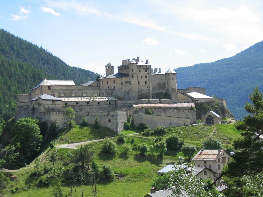
Fort Queyras
 France · 13th century
- Founded
- c. 1275
- Architect
- Sébastien Le Prestre de Vauban
- Heritage status
- monument historique inscrit
- Location
- Château-Ville-Vieille
- Coordinates
- 44.7556°, 6.7896°
- Open data
- Wikidata Q3077998
Description
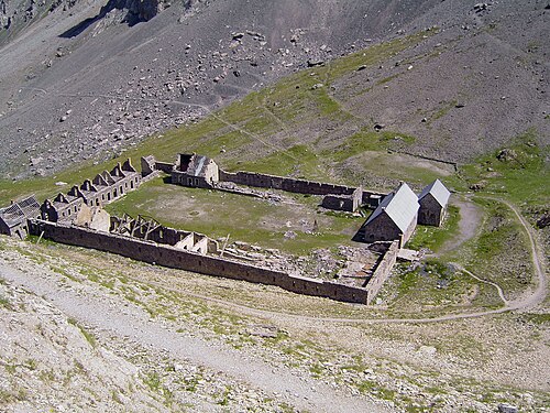
Fort Queyras, formerly called "Château-Queyras", a place name preserved by the village that extends at the foot of the fort, is a former fortified castle from the second half of the 13th century, altered by Vauban, formerly the centre of the châtellenie of Queyras, standing in the territory of the French commune of Château-Ville-Vieille, in the department of Hautes-Alpes, in the Provence-Alpes-Côte d'Azur region. The building is registered as a historic monument.
Machine-translated from “Fort Queyras” on the French Wikipedia, CC BY-SA 4.0.
In the rankings
Fort Queyras ranks #4,708 of 9,040 worldwide in the atlas's castle fame ranking, and #396 of the 787 mapped in France. Founded c. 1275, it is older than 65% of the atlas's dated landmarks, one of 1091 atlas entries founded in the 13th century. Its Wikipedia articles were opened 1,854 times in the last 60 days, more than 67% of the atlas. 2 more atlas landmarks stand within 25 km. The nearest day-trip guide is Turin, 79 km away. See how France compares in the castle statistics.
Castles nearby
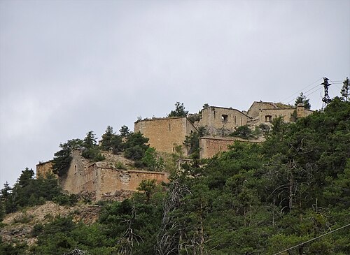
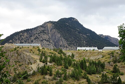
- Fort du Randouillet18 km · France
- Fort des Têtes19 km · France
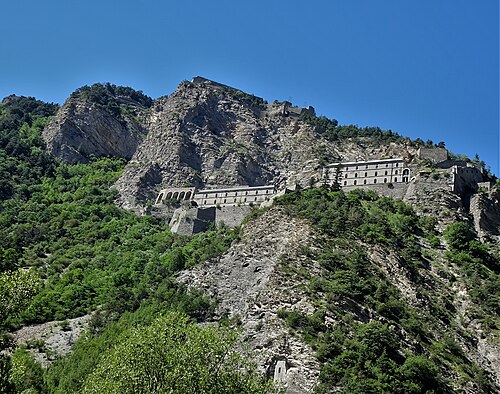
- Fort de Tournoux32 km · France
- Fort de Viraysse32 km · France
More castles in France
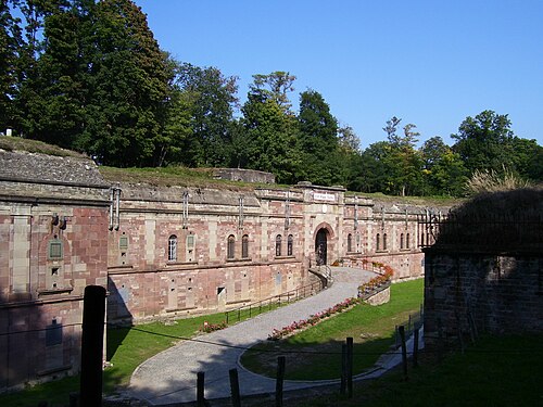
- Fort RappFrance · 19th century
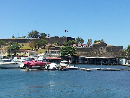
- Fort Saint Louis (Martinique)France · 17th century
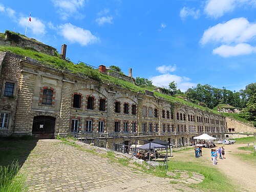
- Fort de CormeillesFrance · 19th century
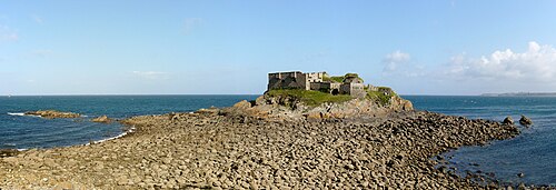
- Fort de l'Îlette de KermorvanFrance · 19th century