Fortress
Fort de Cormeilles
 France · 19th century
- Founded
- 1874
- Heritage status
- listed in the general inventory of cultural heritage · Cultural heritage monuments in Île-de-France
- Location
- Cormeilles-en-Parisis
- Elevation
- 185 m
- Coordinates
- 48.98373°, 2.1958°
- Open data
- Wikidata Q2282291
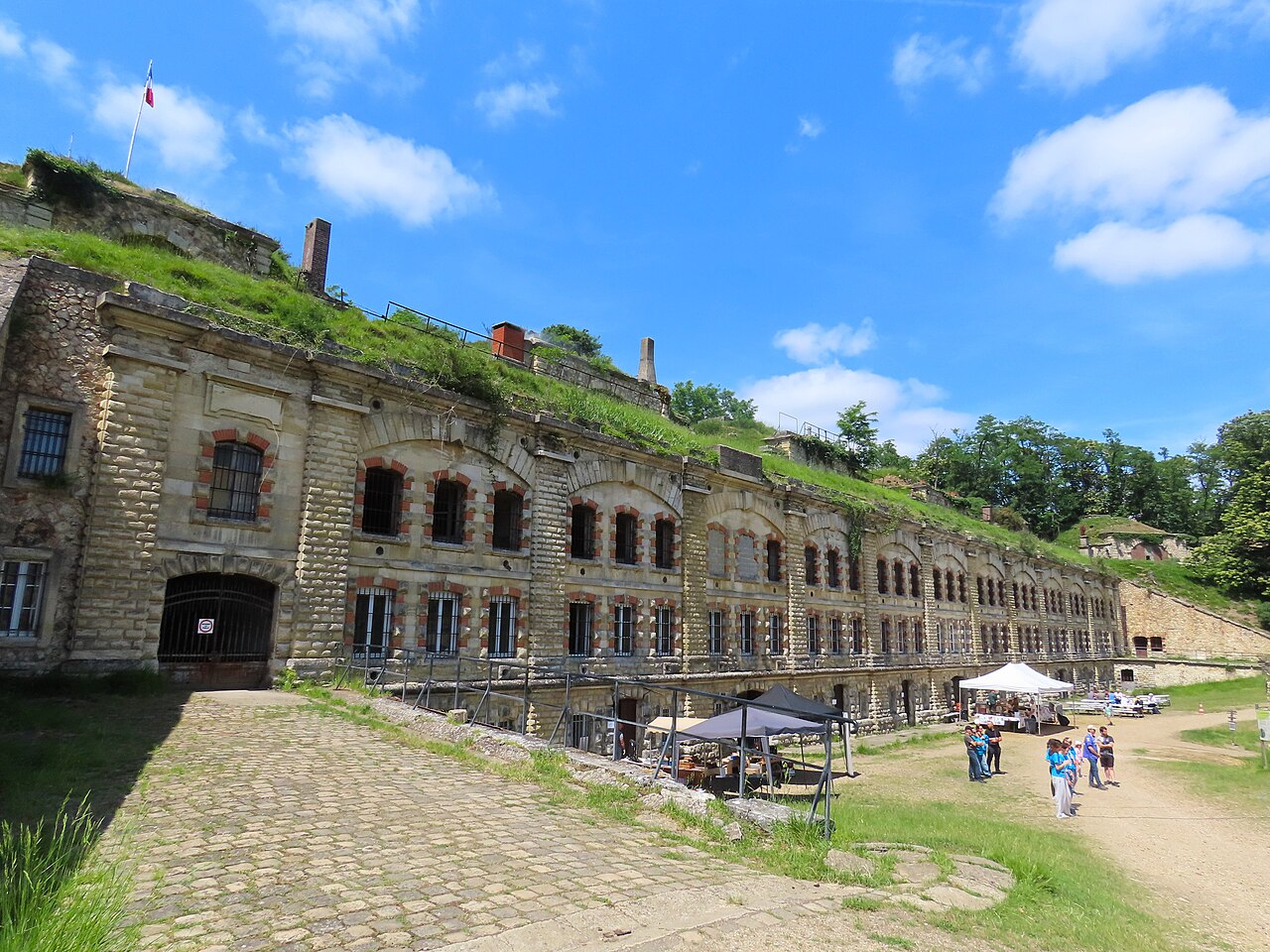
Description
The Fort de Cormeilles-en-Parisis was constructed between 1874 and 1877 as part of a new plan for the defense of Paris developed by General Raymond Adolphe Séré de Rivières, near the town of Cormeilles-en-Parisis. During the Franco-Prussian War, German troops had used the hill upon which the fort sits as a spotting and firing location, ideal for the siting of new rifled guns whose range was increased over old-fashioned smooth-bore guns. These weapons could attack Paris from Cormeilles, so a new outer ring of forts had to be built outside the first ring of forts built in 1840–1860 to deny the area to enemy gunners. The Séré de Rivières system was designed as a response to these technological innovations, and to the loss of French territories in Alsace and Lorraine.
Text adapted from “Fort de Cormeilles-en-Parisis” on Wikipedia, CC BY-SA 4.0.
In the rankings
Fort de Cormeilles ranks #5,125 of 9,040 worldwide in the atlas's castle fame ranking, and #448 of the 787 mapped in France. Founded 1874, it is older than 5% of the atlas's dated landmarks, one of 705 atlas entries founded in the 19th century. Its Wikipedia articles were opened 1,359 times in the last 60 days, more than 59% of the atlas. 44 more atlas landmarks stand within 25 km. The nearest day-trip guide is Paris, 18 km away. See how France compares in the castle statistics.
Castles nearby
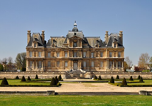
- Château de Maisons5 km · France
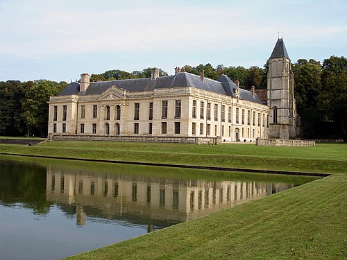
- Castle of Méry-sur-Oise9 km · France
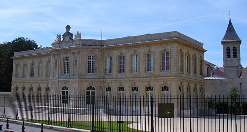
- Chateau d'Asnières11 km · France
- Château de Stors12 km · France
More castles in France
- Fort de l'Îlette de KermorvanFrance · 19th century
- Fort de la PompelleFrance · 19th century
- Fort des TêtesFrance · 18th century
- Fort du Mont BartFrance · 19th century