 France · 19th century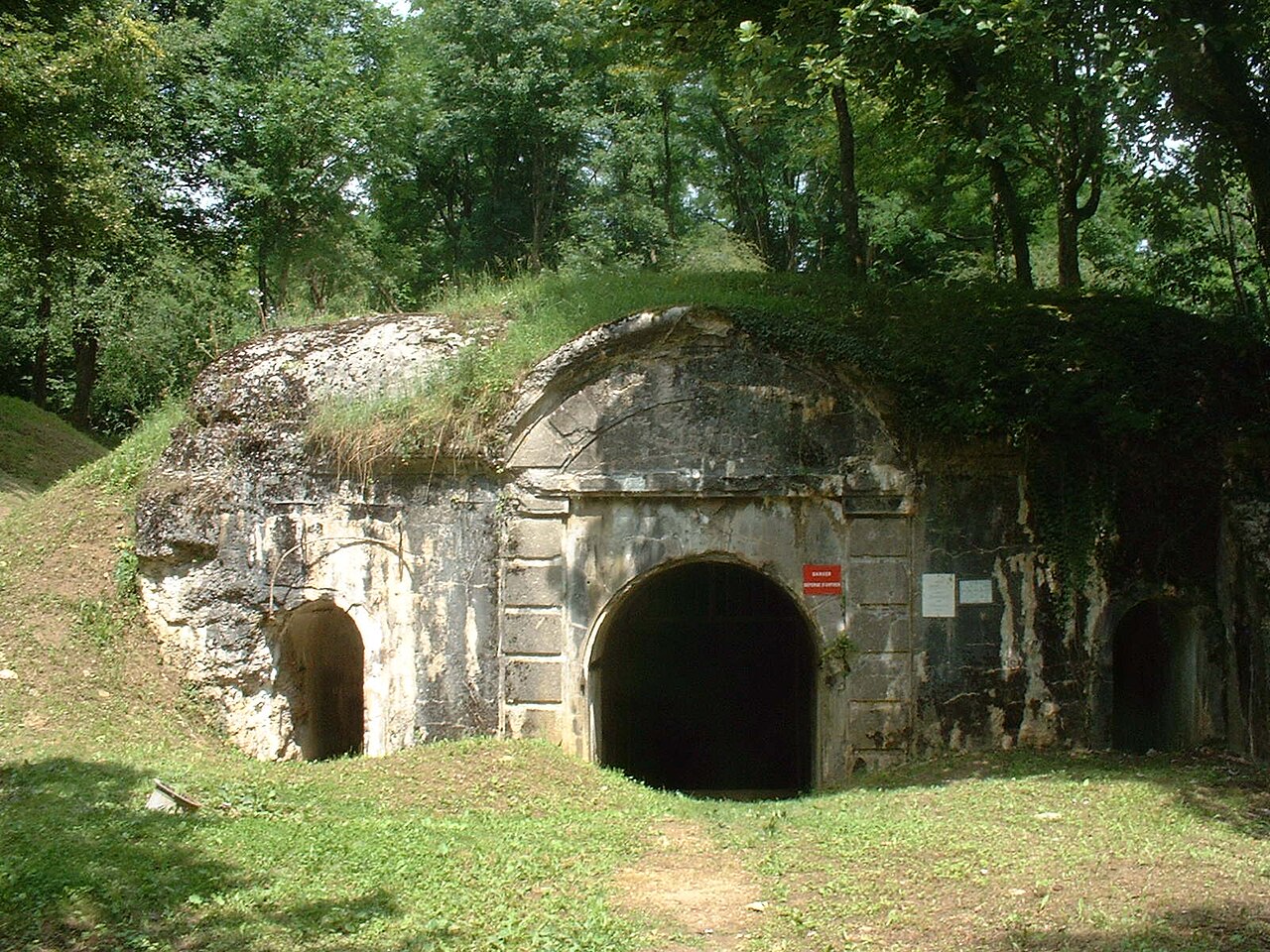
Fort Souville, briefly called Fort Lemoine, was one of the forts of the Verdun Fortification District, situated in the commune of Fleury-devant-Douaumont. Constructed between 1876 and 1879 at an altitude of 396m, it is a first generation fort. It served as a key battlefield in the 1916 Battle of Verdun during World War I. The fort was armed on its ramparts with 9 cannons and 5 mortars, with 8 pieces of artillery used as flanking fire. A Bussiere turret in attached battery was also present.
Text adapted from “Fort Souville” on Wikipedia, CC BY-SA 4.0.
Fort Souville ranks #3,282 of 9,035 worldwide in the atlas's castle fame ranking, and #251 of the 787 mapped in France. Founded 1876, it is older than 5% of the atlas's dated landmarks, one of 705 atlas entries founded in the 19th century. Its Wikipedia articles were opened 2,008 times in the last 60 days, more than 69% of the atlas. 2 more atlas landmarks stand within 25 km. The nearest day-trip guide is Metz, 54 km away. See how France compares in the castle statistics.
View on the interactive castle map →