 Portugal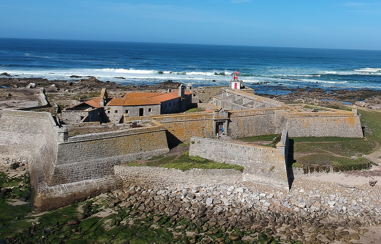
The Fort Nossa Senhora da Ínsua, also known as Ínsua Fort, is located on Ínsua de Santo Isidro, in the parish of União das Freguesias de Moledo e Cristelo, in the municipality of Caminha, in the Viana do Castelo district, in Portugal.
It has been listed as a National Monument since 1910. It is one of only two forts in Portugal that combine a monastery with a modern bastion fortress, the other being the Berlengas Fort.
Text adapted from “Ínsua Fort” on Wikipedia, CC BY-SA 4.0.
Forte da Ínsua ranks #3,225 of 9,035 worldwide in the atlas's castle fame ranking, and #37 of the 212 mapped in Portugal. Its Wikipedia articles were opened 2,103 times in the last 60 days, more than 71% of the atlas. 3 more atlas landmarks stand within 25 km. The nearest day-trip guide is Viana do Castelo, 18 km away. See how Portugal compares in the castle statistics.
View on the interactive castle map →