Ruin
Castro of Santa Trega
🇪🇸 Spain
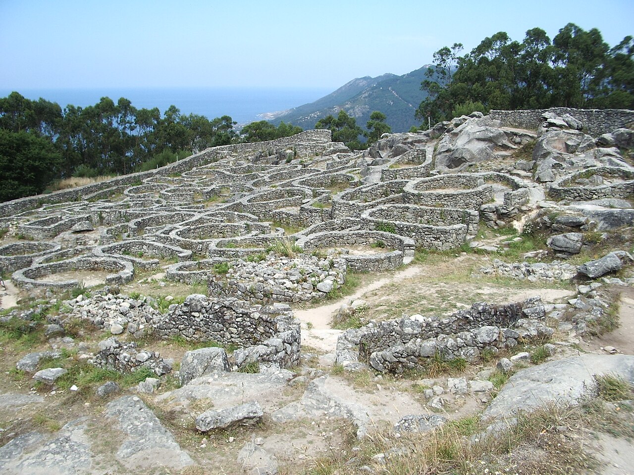
The Castro of Santa Trega is an archaeological site on the hillsides of Mount Santa Trega, in the southwestern Galician municipality of A Guarda, Spain. The site is strategically located overlooking the mouth of the river Miño, at 341 meters (1118 feet) above sea level. Belonging to the Castro culture, it is one of the most emblematic and visited Galician forts (castros).
In 1931, it was declared a National Historical and Artistic Monument ('Monumento Histórico Artístico Nacional') and was also considered a Place of Cultural Interest ('Bien de Interés Cultural': BIC).
Text adapted from “Castro of Santa Trega” on Wikipedia, CC BY-SA 4.0.
Castro of Santa Trega ranks #1,721 of 8,134 worldwide in the atlas's castle fame ranking, and #61 of the 602 mapped in Spain. Its Wikipedia articles were opened 3,804 times in the last 60 days, more than 80% of the atlas. 4 more atlas landmarks stand within 25 km. The nearest day-trip guide is Viana do Castelo, 22 km away. See how Spain compares in the castle statistics.
View on the interactive castle map →Frequently asked questions
Where is Castro of Santa Trega?
Castro of Santa Trega stands in Spain, at 41.89275°, -8.86981°.
How famous is Castro of Santa Trega?
In this atlas's fame ranking: #1,721 of 8,134 worldwide, and #61 in Spain. Fame here combines how many Wikipedia language editions cover a landmark with how many people read them.
What is the nearest castle to Castro of Santa Trega?
Forte da Ínsua, about 4 km away.
More castles in Spain
- Puerta del Sol (Toledo) Spain
- Royal Walls Spain · 10th century
- Castle of Lorca Spain · 9th century
- Alcazaba of Badajoz Spain · 9th century
More ruins
- Sandby borg Sweden
- Châteaux de Lastours France
- Tschanüff Castle Switzerland · 12th century
- Summer Palace (Saint Petersburg) Russia · 18th century