 Portugal · 17th century
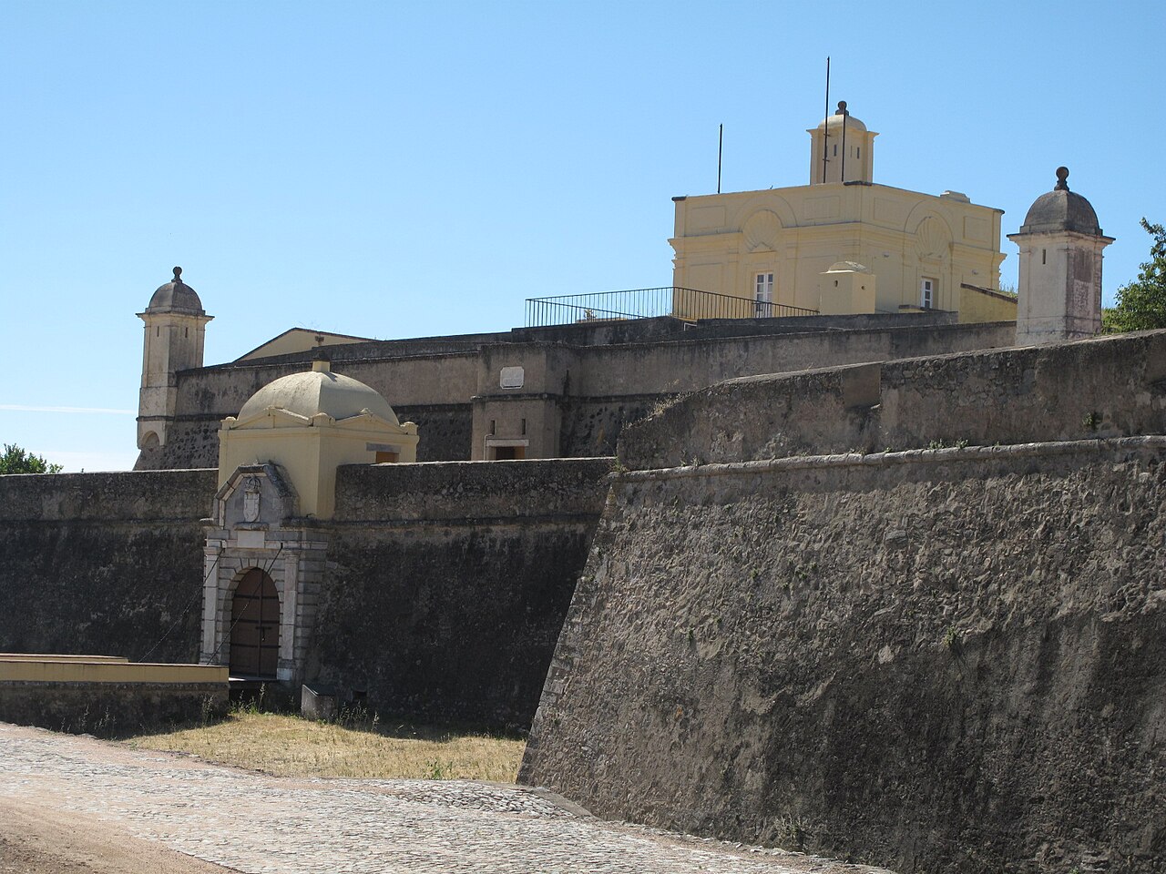
Forte de Santa Luzia ranks #5,870 of 9,040 worldwide in the atlas's castle fame ranking, and #95 of the 212 mapped in Portugal. Founded 1648, it is older than 26% of the atlas's dated landmarks, one of 710 atlas entries founded in the 17th century. 11 more atlas landmarks stand within 25 km. The nearest day-trip guide is Évora, 73 km away. It is one of the 48 landmarks on the atlas's regional map of the Alentejo. See how Portugal compares in the castle statistics.
Fort Santa Luzia is located in Alentejo, in the city of Elvas, district of Portalegre, in Portugal.
The Santa Luzia Fort has been classified as a National Monument since 1940. Together with Fort Piedade, Fort São Francisco, Fort São Mamede and Fort São Pedro, it was part of the defense of the stronghold of Elvas and is part of the complex of the "Garrison Border Town of Elvas and its Fortifications" classified since June 30, 2012 as a World Heritage Site by UNESCO.
Repeatedly besieged during the War of Restoration of Independence, it was during the siege of the city of Elvas, led by the Spanish commander Don Luis de Haro in 1658, that the fort stood out for its defenders heroic resistance. The siege of 1658 preceded the Battle of the Lines of Elvas on 14 January 1659.
In 2014, Fort Santa Luzia was integrated into a new project by the Portuguese Ministry of National Defense, created with the support of Turismo de Portugal, called Turismo Militar, which features historical itineraries based on Portuguese military history.
Text adapted from “Fort Santa Luzia” on Wikipedia, CC BY-SA 4.0.
View on the interactive castle map →