 Belgium · 19th century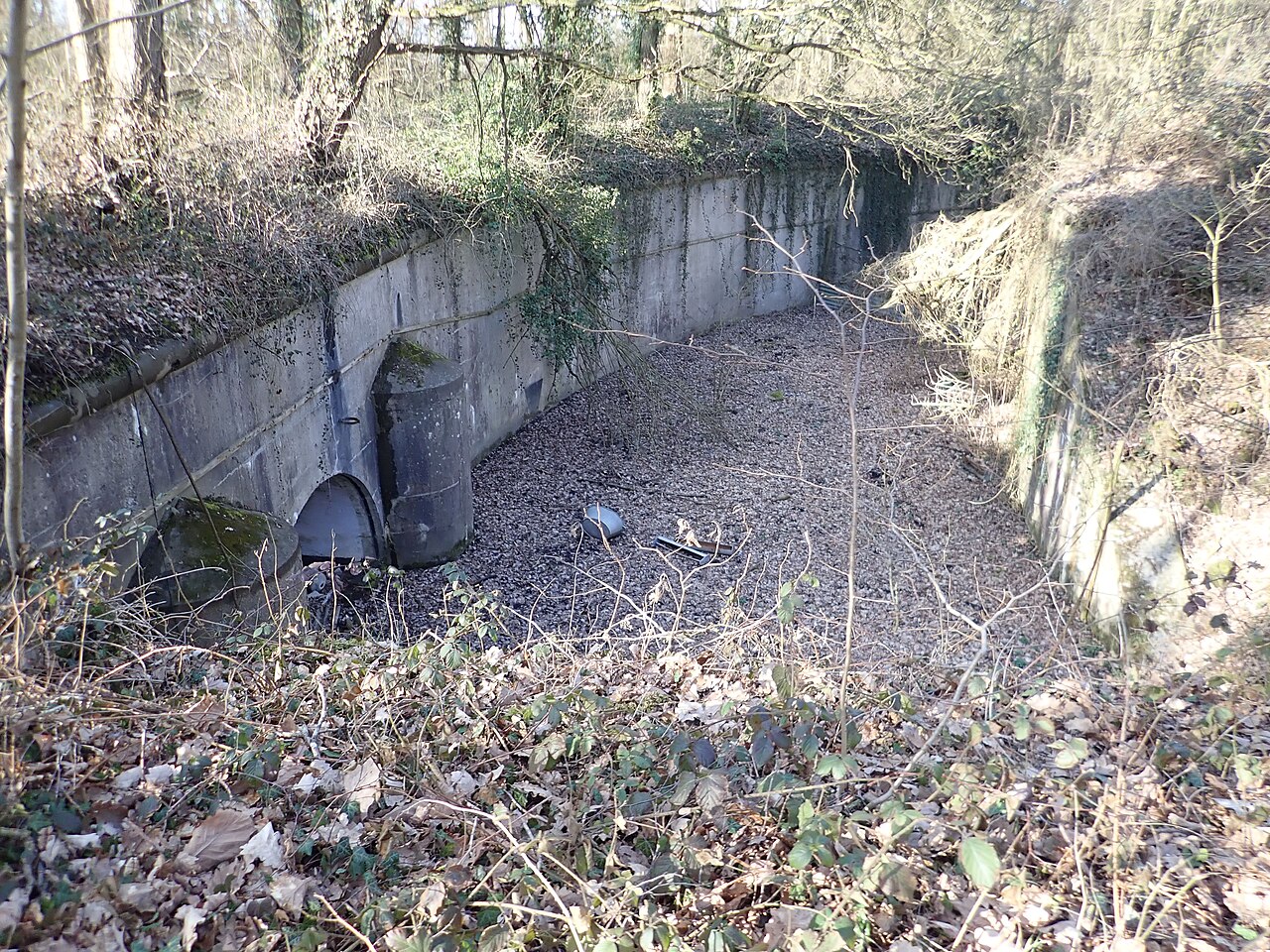
The fortified position of Namur (French: position fortifiée de Namur [PFN]) was established by Belgium after the First World War to fortify the traditional invasion corridor between Germany and France through Belgium. The position incorporated the fortress ring of Namur, originally designed by the Belgian General Henri Alexis Brialmont to deter an invasion of Belgium by France. The old fortifications consisted of nine forts built between 1888 and 1892 on either side of the Meuse, around Namur.
Before the Second World War the forts were modernized to address shortcomings exposed during the 1914 Battle of Liège and the short siege of Namur. While the Namur defenses continued nominally to deter France from violating Belgian neutrality, the seven refurbished forts were intended as a backstop to the fortified position of Liège, which was intended to prevent a second German incursion into Belgium on the way to France. The neutrality policy and fortification programs failed and the Namur forts saw brief combat during the Battle of Belgium in 1940.
Text adapted from “Fortified position of Namur” on Wikipedia, CC BY-SA 4.0.
Fortified Position of Namur ranks #3,707 of 9,035 worldwide in the atlas's castle fame ranking, and #44 of the 128 mapped in Belgium. Founded 1888, one of 705 atlas entries founded in the 19th century. Its Wikipedia articles were opened 1,035 times in the last 60 days, more than 51% of the atlas. 13 more atlas landmarks stand within 25 km. The nearest day-trip guide is Namur, 1 km away. See how Belgium compares in the castle statistics.
View on the interactive castle map →