 Greece
Frourio Nymfaia ranks #8,959 of 9,040 worldwide in the atlas's castle fame ranking, and #123 of the 133 mapped in Greece. 2 more atlas landmarks stand within 25 km. See how Greece compares in the castle statistics.
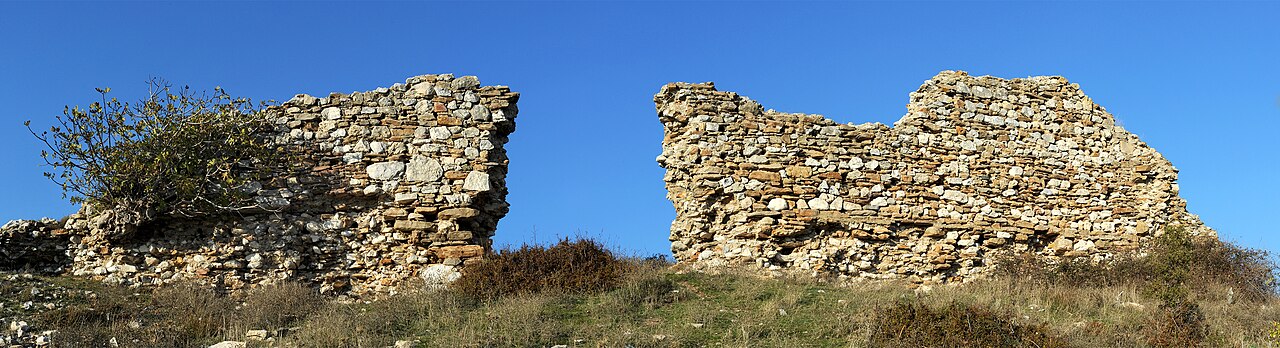
Frourio Nymfaia (also known as the Kales of Nymfaia) is a fortification of the late Byzantine period (1057-1453) 8 km north of Komotini in Thrace.
The fort is square in structure and in the past there were four cylindrical towers at each corner. Today mainly the ruins of the southern fortification survive. The fortification reaches 5 metres in height with a thickness of 1.8 metres. The entire fortification had a perimeter of 200 feet. The fort controlled the passage from the plain of Philippoupolis through the Rhodope mountain range towards the plain of Komotini.
Machine-translated from “Φρούριο Νυμφαίας” on the Greek Wikipedia, CC BY-SA 4.0.
View on the interactive castle map →