 Greece · 5th century
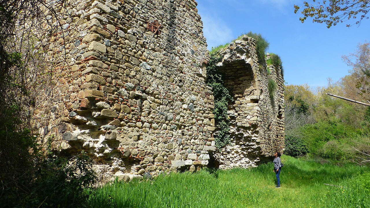
Anastasiopolis-Peritheorion is an archaeological site located in northern Greece, southeast of the village of Amaxades in the Rhodope regional unit in Western Thrace. Parts of the fortification walls of the ancient city of Anastasiopolis (5th – 9th centuries) and Peritheorion (9th century) are still visible. It is unclear whether these are two different cities or a single one that has been renamed in the meantime. The ancient city was an important port on the Aegean Sea and station on the Via Egnatia.
Text adapted from “Anastasiopolis-Peritheorion” on Wikipedia, CC BY-SA 4.0.
Anastasiopolis ranks #5,453 of 9,035 worldwide in the atlas's castle fame ranking, and #71 of the 133 mapped in Greece. Founded c. 450, it is older than 97% of the atlas's dated landmarks, one of 37 atlas entries founded in the 5th century. See how Greece compares in the castle statistics.
View on the interactive castle map →