 Ukraine · 12th century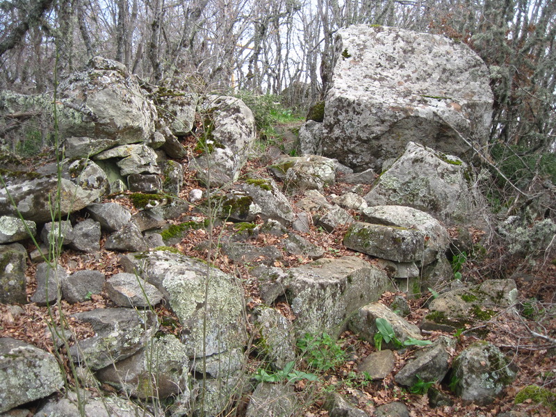
Ai-Todor II (Ukrainian Ай-Тодор II, Crimean Tatar Ay Todor II, Ай Тодор II, from Greek Άγιος Θεόδωρος, St. Theodore) is the ruins of a fortification, or castle, later a monastery, of the 12th–15th century, located 0.5 km north of the village of Maly Mayak in the Alushta region of Crimea, on the mountain of the same name. By decision No. 16 (registration No. 190) of the Crimean Regional Executive Committee of 15 January 1980 the "Fortification on Mount Ai-Todor: defensive walls and church of St. Theodore" was declared a historical monument of regional significance.
Machine-translated from “Ай-Тодор II” on the Russian Wikipedia, CC BY-SA 4.0.
Ay-Todor II ranks #8,979 of 9,079 worldwide in the atlas's castle fame ranking, and #191 of the 195 mapped in Ukraine. Founded c. 1200, it is older than 75% of the atlas's dated landmarks — one of 756 atlas entries founded in the 12th century. 9 more atlas landmarks stand within 25 km. The nearest day-trip guide is Simferopol, 42 km away. See how Ukraine compares in the castle statistics.
View on the interactive castle map →